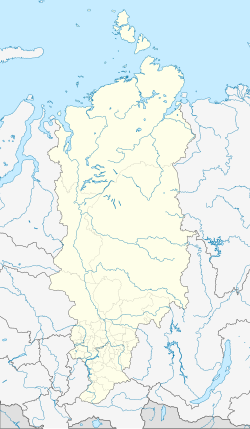
Cheta (Krasnoyarsk)
| settlement
Cheta
Хета
|
||||||||||||||||||||||||||
|
||||||||||||||||||||||||||
|
||||||||||||||||||||||||||
Cheta ( Russian Хета ) is a settlement (possjolok) in the Russian region of Krasnoyarsk in northern Siberia . Until its dissolution at the end of 2006 it belonged to the Taimyr Autonomous County , today's Taimyrski Dolgano-Nenezki rajon ( Taimyr Rajon of the Dolganen and Nenets ).
Geographical location
Cheta is located in the Taimyr Depression , the middle part of the North Siberian lowlands rich in lakes and swamps on the right bank of the Cheta river, which is about 750 m wide . It belongs as one of ten localities to the rural community Selskoje posselenije Khatanga and is located a good 100 km southwest (upstream) of the municipality seat Khatanga . The place can only be reached by water or air (by helicopter from Chatanga).
Residents
Almost all of the 368 inhabitants of the village (as of October 14, 2010) belong to the Dolgan ethnic group.
Individual evidence
- ↑ a b Itogi Vserossijskoj perepisi naselenija 2010 goda. Tom 1. Čislennostʹ i razmeščenie naselenija (Results of the All-Russian Census 2010. Volume 1. Number and distribution of the population). Tables 5 , pp. 12-209; 11 , pp. 312–979 (download from the website of the Federal Service for State Statistics of the Russian Federation)
- ↑ a b Administrative center and localities of the rural community Chatanga on the website of the district administration

