Col de Bretolet
| Col de Bretolet | |||
|---|---|---|---|
|
|
|||
| Compass direction | west | east | |
| Pass height | 1923 m above sea level M. | ||
| region | Department Haute-Savoie , France | Canton of Valais , Switzerland | |
| Watershed | Dranse de la Manche ( Dranse de Morzine , Dranse , Rhone ) | Torrent de Barme ( Vièze / Rhone ) | |
| Mountains | Valais Alps | ||
| particularities | Bird observatory | ||
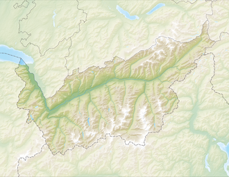
| Map (Valais) | |||
|
|
|||
| Coordinates , ( CH ) | 46 ° 8 '34 " N , 6 ° 47' 45" O ( 550 329 / 110348 ) | ||
The Col de Bretolet is a 1923 m above sea level. M. high mountain pass on the border between France and Switzerland . It is located in the Valais Alps and connects the canton of Valais with the Haute-Savoie department . At the western end of the Val d'Illiez above the village of Champéry , the Swiss Ornithological Institute in Sempach has been operating a ringing station here since 1958 . The focus of the research work is the migration of birds, but also the seasonal migration of bats and insects across the Alps.
There is no crossing over the pass. Access to the ornithological station is from the Col de Cou to the north .

