Denkelhof
Coordinates: 51 ° 28 ′ 15 ″ N , 8 ° 57 ′ 50 ″ E
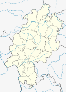
Denkelhof is a deserted area in the district of Helmighausen in the north Hessian city of Diemelstadt .
Geographical location
The place was about 244 meters above sea level , west of Rhoden.
history
Denkelhof was mentioned several times in documents. Below is an overview of the known documentary mentions:
- Tevinchuson (1036) [12th century copy of Vita Meinwerci, ed. by Guido M. Berndt, pp. 250-251, Cap. 215 = Vita Meinwerci, in: MGH Scriptores rerum Germanicarum in usum scholarum 59:
- Tenckhoff, p. 130, Cap. 217]
- Denkhusen (1537) [HStAM inventory 127 No. 5]
In 1036, Bishop Meinwerk von Paderborn certified the founding of the Busdorf Monastery and confirmed the ownership of the Denkhausen Vorwerk belonging to the Hardehausen main courtyard. From 1537 the place was called a desert.
literature
- Karl Schäfer, History of the iron industry in the former county of Waldeck, p. 134
- Mannel, Eisenhütten und Hämmer des Fürstentums Waldeck, pp. 15–16 and pp. 174–176
- Buildings and art monuments Kassel NF 2 (Twiste circle), p. 262
- Bockhammer, Grafschaft Waldeck, pp. 177–187
- Cave, localities in Waldeck, p. 46, no. 9
Individual evidence
- ↑ a b c Denkelhof (district Helmighausen), Waldeck-Frankenberg district. Historical local dictionary for Hessen. (As of December 15, 2017). In: Landesgeschichtliches Informationssystem Hessen (LAGIS).

