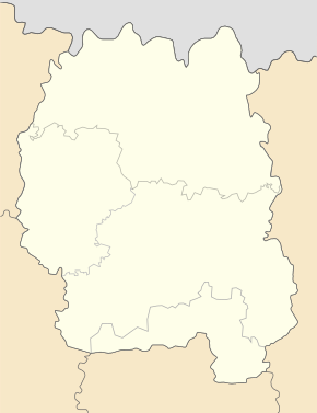
Derhanivka
| Derhanivka | ||
| Дерганівка | ||

|
|
|
| Basic data | ||
|---|---|---|
| Oblast : | Zhytomyr Oblast | |
| Rajon : | Ruzhyn district | |
| Height : | 221 m | |
| Area : | 2.94 km² | |
| Residents : | 799 (2001) | |
| Population density : | 272 inhabitants per km² | |
| Postcodes : | 13640 | |
| Area code : | +380 4138 | |
| Geographic location : | 49 ° 42 ' N , 29 ° 4' E | |
| KOATUU : | 1825283201 | |
| Administrative structure : | 3 villages | |
| Address: | вул. Центральна 13640 с. Дерганівка |
|
| Website : | City council website | |
| Statistical information | ||
|
|
||
Derhaniwka ( Ukrainian Дерганівка ; Russian Дергановка Derganowka ) is a village in the southeast of the Ukrainian Oblast Zhytomyr with about 800 inhabitants (2001).
The village, first mentioned in writing in the 17th century (another source mentions the year 1185), is the administrative center of the 30.983 km² district council of the same name in the southwest of Ruschyn Rajon , which also includes the villages of Kordonivka ( Кордонівка , ⊙ ) with about 50 inhabitants and Marjaniwka ( Мар'янівка , ⊙ ) with about 160 inhabitants.
The village is situated at an altitude of 221 m on the shore Rostawyzja ( Роставиця ), a 116 km long left tributary of Ros , 16 km southwest from Rajonzentrum Ruzhyn and 87 km south of the Oblastzentrum Zhytomyr . Derhaniwka has a train station on the railway line from Kozyatyn to Pohrebyschtsche .
Web links
Individual evidence
- ↑ a b local website on the official website of the Verkhovna Rada ; accessed on February 27, 2020 (Ukrainian)
- ↑ history Derhaniwka in the history of the towns and villages of the Ukrainian SSR ; accessed on February 27, 2020 (Ukrainian)
- ^ Website of the district council on the official website of the Verkhovna Rada; accessed on February 27, 2020 (Ukrainian)


