Desaguadero (Peru)
| Desaguadero | ||
|---|---|---|
|
|
||
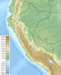
| Coordinates | 16 ° 34 ′ S , 69 ° 2 ′ W | |
| Basic data | ||
| Country | Peru | |
| Puno | ||
| province | Chucuito | |
| ISO 3166-2 | PE-PUN | |
| District | Desaguadero | |
| height | 3830 m | |
| Residents | 8502 (2017) | |
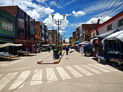
Desaguadero is a small town in the Chucuito Province in the Puno region in southern Peru . Desaguadero is located in the district of the same name . The city had 8502 inhabitants at the 2017 census.
Geographical location
The city of Desaguadero is located at the southern end of Lake Titicaca on the border with Bolivia . The Río Desaguadero , the outflow of Lake Titicaca, flows east of the city. On the opposite side of the river is the Bolivian city of Desaguadero .
Individual evidence
- ↑ PERU: Region Puno - Provinces & Places . www.citypopulation.de. Accessed December 30, 2019.
Web links
Commons : Desaguadero - collection of images, videos and audio files

