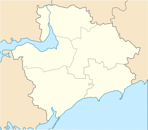
Dniprowka (Kamjanka-Dniprowska)
| Dniprovka | ||
| Дніпровка | ||

|
|
|
| Basic data | ||
|---|---|---|
| Oblast : | Zaporizhia Oblast | |
| Rajon : | Kamjanka-Dniprovska district | |
| Height : | no information | |
| Area : | 14.999 km² | |
| Residents : | 4,017 (2004) | |
| Population density : | 268 inhabitants per km² | |
| Postcodes : | 71321 | |
| Area code : | +380 6138 | |
| Geographic location : | 47 ° 26 ' N , 34 ° 37' E | |
| KOATUU : | 2322484601 | |
| Administrative structure : | 2 villages | |
| Address: | вул. 9 Травня 42 71321 с. Дніпровка |
|
| Statistical information | ||
|
|
||
Dniprowka ( Ukrainian Дніпровка ; Russian Днепровка Dneprowka ) is a village in the west of the Ukrainian Oblast of Zaporizhia with about 4,000 inhabitants (2004).
The village was founded in 1787 is the administrative center of the same name, 15.205 km² District Municipality in Rajon Kamianka-Dniprovska , nor in which to Zaporizhia Nuclear Power Plant located village Mitschurina ( Мічуріна ⊙ ) is about 50 inhabitants.
Dniprowka located 10 km south of the city Enerhodar on the regional road P-37 and the territorial road T-08-05 , which after 12 km into the, at kakhovka reservoir located, village Wodjane leads.
The regional center Kamjanka-Dniprovska is 17 km northwest and the Oblast center Zaporozhye 115 km northeast of Dniprovka.
Web links
- Cities and Villages in Ukraine - Dniprovka on imsu-zaporizhzhya.com (Ukrainian)
Individual evidence
- ^ Website of the village on the website of the Verkhovna Rada ; accessed on July 28, 2017 (Ukrainian)

