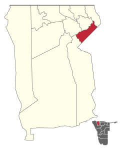
Elim (constituency)
 Details |
Elim constituency |
| Basic data | |
|---|---|
|
State region |
Namibia Omusati |
|
Population area District administrative seat |
Elim |
| Election information | |
|
Registered voters |
|
Elim is a constituency in the Omusati administrative region in northeastern Namibia . Elim borders the constituencies of Okalongo and Oshikuku to the north and west and the Oshana region to the east . The main town of the district is the eponymous village of Elim , residence of the Uukwambi kings .
Elim was an important location of the Evangelical Lutheran Church in Namibia (ELCIN).
Coordinates: 17 ° 43 ′ S , 15 ° 29 ′ E

