Faulgraben (Main)
| Septic tank | ||
|
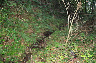
The Faulgraben at the entrance to Pflochsbach |
||
| Data | ||
| Water code | DE : 245394 | |
| location | Germany | |
| River system | Rhine | |
| Drain over | Main → Rhine → North Sea | |
| source | on the Franconian plate east of Lohr am Main - Pflochsbach 49 ° 57 ′ 43 ″ N , 9 ° 36 ′ 57 ″ E |
|
| Source height | approx. 291 m above sea level NHN | |
| muzzle | near Pflochsbach in the Main Coordinates: 49 ° 57 '44 " N , 9 ° 35' 51" E 49 ° 57 '44 " N , 9 ° 35' 51" E |
|
| Mouth height | 147.3 m above sea level NHN | |
| Height difference | approx. 143.7 m | |
| Bottom slope | approx. 90 ‰ | |
| length | 1.6 km | |
The Faulgraben is a one and a half kilometer long stream on the edge of the Spessart Nature Park in the Lower Franconian district of Main-Spessart , which flows from the left into the Main when coming from the east .
course
The Faulgraben arises on the Franconian Plate just under a kilometer east of Lohr am Main - Pflochsbach from two source streams. The longer and southern source branch rises at a height of about 291 m above sea level. NN in the Hässli forest in the deciduous forest. The brook first flows a good two hundred meters north and then joins the second spring branch, which rises 10 meters below.
The combined stream now runs in a westerly direction through a narrow, wooded valley. Before it reaches the outskirts of Pflochsbach, the stream disappears underground for about three hundred meters and only reappears south of the St Jakobuskirche , which was built in 1664 , after it has crossed Pflochsbacher Strasse . Alongside St.-Jakobus-Straße , it still runs a good hundred and thirty meters through the village and finally flows out about a hundred meters west of the outskirts of Pflochsbach at an altitude of about 147.3 m above sea level. NN at the Jakobuswiesen from the left into the Main coming from the north .
See also
Individual evidence
- ↑ Bavaria Atlas of the Bavarian State Government ( notes )
- ↑ Reservoir level of the Main between the barrages Steinbach above and Rothenfels below, both marked in blue on the BayernAtlas.
- ↑ Own measurement on the BayernAtlas
- ↑ Pflochsbach ( Memento of the original from October 6, 2014 in the Internet Archive ) Info: The archive link was automatically inserted and not yet checked. Please check the original and archive link according to the instructions and then remove this notice.
Web links
- The Faulgraben on the BayernAtlas
