Friesenbergscharte
| Friesenbergscharte | |||
|---|---|---|---|
|
Sign to the Friesenberghaus at the transition to the Friesenbergscharte |
|||
| Compass direction | Northwest | southeast | |
| Pass height | 2904 m above sea level A. | ||
| state | Tyrol , Austria | ||
| Watershed | Tuxbach | Zamser Bach | |
| Valley locations | Hintertux | Friesenberghaus | |
| expansion | Mountain path | ||
| Mountains | Zillertal Alps | ||
| profile | |||
| Ø pitch | % (379 m /? Km) | % (412 m /? Km) | |
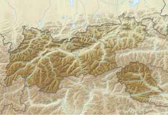
| Map (Tyrol) | |||
|
|
|||
| Coordinates | 47 ° 4 '41 " N , 11 ° 41' 49" E | ||
The Friesenbergscharte is a notch in the Zillertal Alps . It is located at an altitude of 2904 m above sea level. A. between the Hohe Riffler and the Gefrorene-Wand-Spitzen . A path runs over the saddle that enables an ice-free transition from the Spannagelhaus in the northwest to the Friesenberghaus in the southeast. There are rope insurances on the southeast side .
Literature and map
- Heinrich Klier / Walter Klier : Alpine Club Guide Zillertal Alps , Bergverlag Rother , Munich 1996, ISBN 3-7633-1269-2
- Alpine Club Map 1: 25,000, sheet 35/1, Zillertal Alps West


