Geeveston
| Geeveston | |||||||
|---|---|---|---|---|---|---|---|
 Main Street from Geeveston |
|||||||
|
|||||||
|
|||||||
|
|||||||
|
|||||||
|
|
|||||||
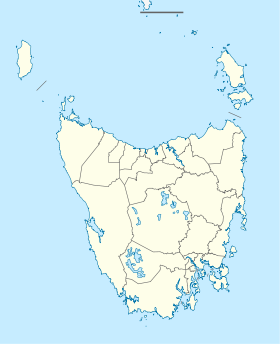
Geeveston is a small town in the south of the Australian state of Tasmania . It is located on the Huon River , 62 km south of Hobart , making it Australia's southernmost administrative center. The city belongs to the Local Government Area Huon Valley Municipality and belongs to the Division of Franklin in both the Australian House of Representatives and the Tasmanian Parliament elections .
history
The city was named after William Geeves , an English settler who was given land by Lady Jane Franklin in what was then called the Lightwood Bottom (after the predominant wood species there). The Geeves settlement was established in 1842 and renamed Geeves Town in 1861 . It later became Geeveston .
In addition to forestry, fruit growing also plays an important role in Geeveston. The soil in the area turns out to be fertile and after the original trees were cleared, the land was cultivated and as early as 1851 William Geeves began planting apple trees imported from England. The trees served and a new industry was born.
In 1874 the first steam-powered sawmill was inaugurated in Geeveston and for many years most was proud to own the largest sawmill in the southern hemisphere . It was located on Hospital Bay at Port Huon. The sawmill was owned by the Huon Timber Company and known as the Bank Mill . Roads and railways were built heranzuschaffen to the wood sawn timber were then Ketschen to Hobart brought and serves the domestic and international markets from there.
Economy and tourism
Geeveston is located on the Huon Highway (A6) and is considered the gateway to the Hartz Mountains National Park . It is also the center of Tasmanian apple and fruit growing and has always been very dependent on the timber industry since the late 19th century. A pulp mill opened in town in 1962 and became Geeveston's largest employer. In 1982 it closed, ruining the local economy. The Forest & Heritage Center , a visitor center showing the history of the area's timber industry, is also in Geeveston.
Web links
Individual evidence
- ↑ Australian Bureau of Statistics : Geeveston (L) ( English ) In: 2016 Census QuickStats . June 27, 2017. Retrieved April 2, 2020.
- ^ Geeveston . The Sydney Morning Herald. February 8, 2004.
- ↑ a b Heritage Australia: Historical Towns Directory ( Memento of the original from March 14, 2014 in the Internet Archive ) Info: The archive link was automatically inserted and not yet checked. Please check the original and archive link according to the instructions and then remove this notice. , accessed on February 5, 2012
- ^ Pip Courtney: Positive Approach Regenerates Timber Town . Landline (broadcast). Australian Broadcasting Corporation. August 22, 2004.

