Guldental (valley)
| Guldental | ||
|---|---|---|
|
The Guldental below the Schelten Pass. |
||
| location | Canton of Solothurn , Switzerland | |
| Waters | Ramiswiler Bach / Limmerenbach / Rickenbächli → Mümliswiler Bach (→ Augstbach → Dünnern → Aare → Rhine ) | |
| Mountains | law | |
| Geographical location | 616001 / 244000 | |
|
|
||
| rock | lime | |
| particularities | Object of the BLN | |
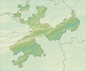
The Guldental is a valley in the Thal district of the Swiss canton of Solothurn . It runs parallel to the main valley of the district and is separated from it by the Sonnenberg . The mountain that separates the Guldental from Beinwil in the north is also known as the Sonnenberg or (both) according to the official Sunnenberg maps .
The pass road to Passwang runs through the Guldental , from which the roads to the Scheltenpass and Breitehöchi branch off . In the upper part of the valley are the two villages of the municipality of Mümliswil-Ramiswil , the rear part towards the Scheltenpass is characterized by its wealth of forest. As part of the Thal Regional Nature Park, the valley is part of the federal inventory of landscapes and natural monuments of national importance .
Web links
Individual evidence
- ↑ Federal Inventory of Landscapes and Natural Monuments of National Importance (BLN) (Federal Office for the Environment FOEN) , object name: Regionaler Naturpark Thal, object number 20.

