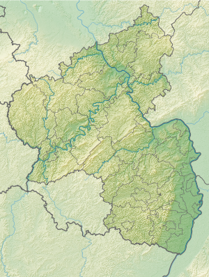
Hammerwoog
| Hammerwoog / Blechhammerweiher | ||
|---|---|---|

|
||
| Geographical location | Germany | |
| Tributaries | Wurzelwooggraben | |
| Drain | Wurzelwooggraben → Louder | |
| Places on the shore | Kaiserslautern | |
| Data | ||
| Coordinates | 49 ° 27 '0 " N , 7 ° 44' 9" E | |
|
|
||
| Altitude above sea level | 232 m above sea level NHN | |
| surface | 3 ha | |
| length | 650 m | |
| width | 50 m | |
The Hammerwoog , also Blechhammerweiher , is a woog of the Wurzelwooggraben northwest of the core city of Kaiserslautern in Rhineland-Palatinate . Woog are artificially created reservoirs in southwest Germany .
Geographical location
The reservoir extends from southwest to northeast (direction of flow of the water) between the north-west passing Autobahn 6 and the Kaiserslautern settlement Lothringer Dell in the Hammerbachtal . Its length is about 600, its maximum width about 50 m; it covers an area of 3 hectares.
In addition to the Vogelwoog located 500 m southwest, it is the last remaining medieval woog in the city. Like the Vogelwoog, the lake is fed by the Wurzelwooggraben, a left tributary of the Lauter , and also by springs in the Weihergrund and in the immediate vicinity.
history
Originally, monks created the lake as a fish pond. It got its first name Hammerwoog after an armory built on the northeast bank below the dam , whose hammer was driven by a mill wheel . The forge was later converted into a sheet metal stamping plant, which led to the second name. In 1819 the tin hammer was shut down and the building was then used as a mill. From 1870 the pond was only used as fishing waters, and the building was converted into a spa house. In the 1920s, its operation was completely stopped.
Todays use
Today the pond is owned by the city of Kaiserslautern. The Blechhammer Hotel stands on the site of the former Blechhammer. The forest around the pond has been classified as a natural monument in the Reichswald landscape protection area since 1978 .
Individual evidence
- ↑ Still waters and Wooge. City of Kaiserslautern, accessed December 12, 2014 .
- ↑ a b c Jörg Huber: The tin hammer near Kaiserslautern. (PDF; 630 kB) Retrieved December 12, 2014 .


