Rock Fountain (Kaiserslautern)
| Rock fountain | |||
|---|---|---|---|
 Rock Fountain (2017) |
|||
| location | |||
| Country or region | District of Kaiserslautern ( Rhineland-Palatinate ) | ||
| Coordinates | 49 ° 23 ′ 55 " N , 7 ° 50 ′ 37" E | ||
| height | 341 m above sea level NHN | ||
|
|||
| geology | |||
| Mountains | middle Palatinate Forest | ||
| Source type | Layer source | ||
| Exit type | collected source | ||
| Hydrology | |||
| River system | Rhine | ||
| Receiving waters | Rambach → Mooswies → Aschbach → Moosalbe → Schwarzbach → Blies → Saar → Moselle → Rhine → North Sea | ||
Coordinates: 49 ° 23 ′ 55 ″ N , 7 ° 50 ′ 37 ″ E
The natural monument Felsenbrunnen is a contained spring in the Stiftswald in Kaiserslautern in Rhineland-Palatinate .
location
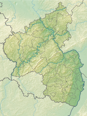
The source is located eight kilometers south-east of Kaiserslautern near the federal highway 48 on the northeast slope of the Felsenbrunnenkopf at an altitude of 341 m above sea level. NHN . The source is set.
Natural allocation
The rock fountain belongs to the Palatinate Forest natural area , which is classified in the systematics of the handbook of the natural structure of Germany published by Emil Meynen and Josef Schmithüsen and its follow-up publications as a 3rd order Greater Region. If you look at the internal structure of the natural area , the rock fountain belongs to the Middle Palatinate Forest.
In summary, the natural spatial allocation of the rock fountain follows the following system:
- Greater region 1st order: Layer level land on both sides of the Upper Rhine Rift
- Greater region 2nd order: Palatinate-Saarland layer level land
- Greater region 3rd order: Palatinate Forest
- 4th order region (main unit): Middle Palatinate Forest
- 5th order region: unknown
Traffic and walking
The L 504, which runs from west to east, crosses federal highway 48, which runs north to south, at the “Am Stall” hiking car park . The “yellow bar” hiking trail of the Palatinate Forest Association leads past the rescue point 6513-533 . The fountain is best reached via the parking lot. Walk south on the L 504 (to Mölschbach) and after 50 m down the valley to the west, then after about 150 m on the right you will reach the source. The water flows through a crevice under a now leaky sandstone container into a wooden canal and from there down into the valley towards Mölschbach .
Others
The spring has water all year round. Your water is currently sinking again in the rock valley before it can reach Mölschbach (as of 2017).
Individual evidence
- ^ LANIS: Felsenbrunnen on a topographical map from the map service of the landscape information system of the Rhineland-Palatinate nature conservation administration. Retrieved July 8, 2017 .
- ↑ Adalbert Pemöller: Geographical land survey: The natural spatial units on sheet 160 Landau i. d. Palatinate. Federal Institute for Regional Studies, Bad Godesberg 1969. → Online map (PDF; 4.2 MB)
- ↑ Helmut Beeger u. a .: The landscapes of Rheinhessen-Pfalz - naming and spatial delimitation. In: Reports on German regional studies , Volume 63, Issue 2, Trier, 1989, pp. 327–359
- ↑ State Office for Surveying and Geographic Base Information Rhineland-Palatinate: Topographical Map 1: 25,000 .-- Palatinate Forest Nature Park. In: Kaiserslautern and the surrounding area , sheet 3

