Hebron (Connecticut)
| Hebron | ||
|---|---|---|
 Augustus Post House (2011) |
||
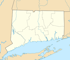
| Location in Connecticut | ||
|
|
||
| Basic data | ||
| Foundation : | 1704 | |
| State : | United States | |
| State : | Connecticut | |
| County : | Tolland County | |
| Coordinates : | 41 ° 39 ′ N , 72 ° 23 ′ W | |
| Time zone : | Eastern ( UTC − 5 / −4 ) | |
| Residents : | 9,198 (as of: 2005) | |
| Population density : | 96.2 inhabitants per km 2 | |
| Area : | 96.6 km 2 (approx. 37 mi 2 ) of which 95.6 km 2 (approx. 37 mi 2 ) is land |
|
| Height : | 154 m | |
| Postcodes : | 06231, 06248 | |
| Area code : | +1 860 | |
| FIPS : | 09-37910 | |
| GNIS ID : | 0213445 | |
| Website : | www.hebronct.com | |
Hebron is a US city in Tolland County in the US state of Connecticut . It has about 9,100 inhabitants (as of 2004). The urban area has a size of 96.5 km².
The National Park Service has two entries in the National Register of Historic Places (NRHP) for Hebron (as of November 12, 2018), the Hebron Center Historic District and the Augustus Post House .
sons and daughters of the town
- Daniel Buck (1753-1816) politician and lawyer, Vermont Attorney General was
Web links
Remarks
- ↑ Search mask database in the National Register Information System. National Park Service , accessed November 12, 2018.
