High Forest (Thuringian Slate Mountains)
| High forest | ||
|---|---|---|
|
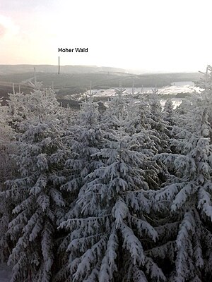
View from the hood to the high forest. The Great Farmdenkopf can be seen in the background . |
||
| height | 693.6 m above sea level NHN | |
| location | Ilm district , Thuringia | |
| Mountains | Thuringian Slate Mountains | |
| Coordinates | 50 ° 34 '13 " N , 10 ° 59' 47" E | |
|
|
||
The high forest is at a height of 693.6 m above sea level. NHN an elevation, which is located between Altenfeld and Großbreitenbach in the westernmost part of the High Thuringian Slate Mountains near the transition to the Thuringian Forest . The mountain is bounded by the Oelze valley to the south and south-west and by the Grundstal with the Grundsbach to the east.
In a narrower sense, the Hohe Wald (sometimes also written Hohewald) is a forest area on the south-south-east foothills of this elevation, south of the Kahlswald, which occupies the east-south-east to south-east slope of the elevation. The Königswald lies on the west-south-western foothills of the elevation.
particularities
A 380 kV high-voltage line runs across the mountain, which conducts the electrical energy generated in the Goldisthal pumped storage plant to the Altenfeld switchgear. In 2015, a second 380 kV extra-high voltage line was built parallel to this line, which connects the Altenfeld and Redwitz an der Rodach substations . The mountain is crossed by the Silberberg tunnel on the Nuremberg – Erfurt high-speed line , the south portal of which flows into the Oelzetal here.
Hiking destinations
- Hike from Altenfeld to the Dianahütte .

