Hohlenfelsbachtal
Coordinates: 50 ° 17 '10 " N , 8 ° 1' 44" E
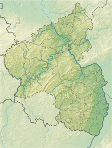
The Hohlenfelsbachtal nature reserve is located in the Rhein-Lahn district in Rhineland-Palatinate .
The 110.89 hectare area, which was placed under nature protection by ordinance of January 18, 2002 , extends between the local community of Allendorf in the southwest and the local community of Hahnstätten in the northeast. In parts, the B 274 forms the southeastern border of the area.
The area includes the Hohlenfelsbachtal near Hohlenfels Castle as well as adjacent orchid forest areas on limestone soils. This also includes wet meadows , tall herbaceous meadows and bodies of water.

