Rhine slopes from Gutenfels Castle to the Loreley
Coordinates: 50 ° 6 ′ 42 ″ N , 7 ° 45 ′ 1 ″ E
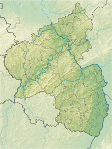
The nature reserve Rhine slopes from Gutenfels Castle to the Loreley lies in the Rhein-Lahn district in Rhineland-Palatinate . It is the largest nature reserve in the district.
The 626.36 hectare area, which was placed under nature protection by ordinance of September 16, 1999 , extends to the right of the Rhine opposite the local community Urbar and the city of Oberwesel . Not far to the north of the local community Dörscheid , the Urbach , a left tributary of the Rhine, flows through the area. The B 42 (= Rheinstraße) runs directly on the western edge, to the east the L 338 state road .
The area includes habitats of the Middle Rhine breakthrough valley with its side valleys. This includes in particular xerothermal biotopes such as rock areas, open and wooded areas and dry stone walls .


