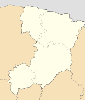
Horodok (Rivne)
| Horodok | ||
| Городок | ||

|
|
|
| Basic data | ||
|---|---|---|
| Oblast : | Rivne Oblast | |
| Rajon : | Rivne district | |
| Height : | 178 m | |
| Area : | 1.72 km² | |
| Residents : | 2,719 (2004) | |
| Population density : | 1,581 inhabitants per km² | |
| Postcodes : | 35331 | |
| Area code : | +380 362 | |
| Geographic location : | 50 ° 41 ' N , 26 ° 11' E | |
| KOATUU : | 5624683301 | |
| Administrative structure : | 7 villages | |
| Address: | вул. Т. Шевченка 6 35331 с. Городок |
|
| Website : | City council website | |
| Statistical information | ||
|
|
||
Horodok ( Ukrainian Городок ; Russian Городок Gorodok , Polish Gródek ) is a village and the administrative center of the district council of the same name in the Ukrainian Rivne Oblast with about 2,700 inhabitants (2004).
The village, first mentioned in writing on July 9, 1463, is located in Rivne district on the bank of the Ustja ( Устя ), a 68 km long left tributary of the Horyn . Past the village leading highway N 22 , the 12 km to the southeast, the oblast and Rajonzentrum Rivne reached.
The Russian-German scientist and politician Theodor Steinheil (1870–1946) lived in the village for most of his life . There is a monastery and a few factories in the village.
local community
The district council of Horodok, which has a total area of 68.828 km² and a population of around 4800 inhabitants, also includes the following villages:
- Karajewytschi ( Караєвичі )
- Karpyliwka ( Karpyliwka )
- Metkiv ( Метків )
- Mychajliwka ( Михайлівка )
- Ponebel ( Понебель )
- Rubche ( Рубче )
Personalities
- Volodymyr Oskilko (1892–1926), Ukrainian general and putschist
Web links
- Gródek . In: Filip Sulimierski, Władysław Walewski (eds.): Słownik geograficzny Królestwa Polskiego i innych krajów słowiańskich . tape 2 : Derenek – Gżack . Sulimierskiego and Walewskiego, Warsaw 1881, p. 818 (Polish, edu.pl ).
Individual evidence
- ^ Official website of the village on the website of the Verkhovna Rada ; accessed on February 13, 2017 (Ukrainian)
- ↑ Local history Horodok in the history of the cities and villages of the Ukrainian SSR ; accessed on November 11, 2017 (Ukrainian)
- ^ Official website of the Horodok district council on the website of the Verkhovna Rada; accessed on February 13, 2017 (Ukrainian)


