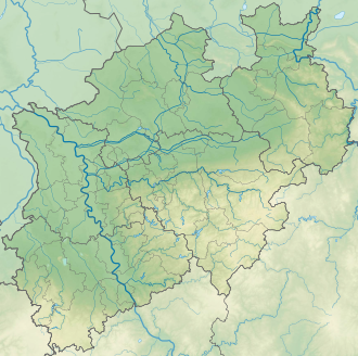
Horst height
| Horst height | |||
|---|---|---|---|
|
Pass road Horst Höhe |
|||
| Compass direction | North | south | |
| Pass height | 220 m above sea level NN | ||
| district | Minden-Lübbecke | ||
| Valley locations | Luebbecke | Upper peasantry | |
| expansion | Bundesstrasse 239 | ||
| Mountains | Wiehengebirge | ||
| map | |||
|
|
|||
| Coordinates | 52 ° 17 '24 " N , 8 ° 37' 16" E | ||
Horst Höhe (also Horsts Höhe ) is a pass road on the federal highway 239 , which leads over the Wiehengebirge and connects the Hüllhorst village of Niedringhausen in the south with the town of Lübbecke north of the Wiehengebirge . The pass is named after the former district administrator of the Lübbecke district , Adolf August Ernst Ludwig Freiherr von der Horst . This once initiated the construction of the first developed county road from Lübbecke through the Wiehengebirge to Oberbauerschaft . When the B 239 was built, the Sölter family's "Horst's Höhe" inn had to be demolished in 1976.
Individual evidence
- ↑ Horst ( Memento from February 11, 2013 in the web archive archive.today )
- ^ Helmut Hüffmann, city archivist Lübbecke: From the district council room to the royal district office in Lübbecke. In: City history on the homepage of the city of Lübbecke. September 26, 2010, accessed October 3, 2018 .

