Kuzitrin River
| Kuzitrin River | ||
|
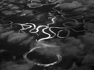
The confluence of the Noxapaga River (left in the picture) with the Kuzitrin River |
||
| Data | ||
| Water code | US : 1405111 | |
| location | Seward Peninsula in Alaska (USA) | |
| River system | Kuzitrin River | |
| Drain over | Imuruk Basin → Bering Sea | |
| origin |
Kuzitrin Lake 65 ° 26 ′ 59 ″ N , 163 ° 48 ′ 43 ″ W. |
|
| Source height | 434 m | |
| muzzle |
Imuruk Basin Coordinates: 65 ° 10 ′ 3 " N , 165 ° 25 ′ 12" W 65 ° 10 ′ 3 " N , 165 ° 25 ′ 12" W |
|
| Mouth height | 2 m | |
| Height difference | 432 m | |
| Bottom slope | approx. 2.9 ‰ | |
| length | approx. 150 km | |
| Discharge A Eo : 4506 km² Location: 62 km above the mouth |
MQ 1963/1973 Mq 1963/1973 |
35 m³ / s 7.8 l / (s km²) |
| Left tributaries | Pilgrim River | |
| Right tributaries | Noxapaga River , Kougarok River | |
|
Moose on the Kuzitrin River |
||
The Kuzitrin River is a 150 km long river on the Seward Peninsula in western Alaska .
It rises from Kuzitrin Lake in the Bering Land Bridge National Preserve , flows north of the Bendeleben Mountains in a south-westerly direction and flows into the Imuruk Basin , which is connected to the Bering Sea , almost 50 km south-east of Teller .
Tributaries of the Kuzitrin River are the Noxapaga River and Kougarok River from the right and the Pilgrim River from the left.
Web links
Commons : Kuzitrin River - collection of pictures, videos and audio files

