Lilla Harrie
| Lilla Harrie | ||||
|
||||
| State : | Sweden | |||
| Province (län): | Skåne County | |||
| Historical Province (landskap): | Gentle | |||
| Municipality : | Kävlinge | |||
| Coordinates : | 55 ° 48 ' N , 13 ° 12' E | |||
| SCB code : | 3568 | |||
| Status: | Crime scene | |||
| Residents : | 391 (December 31, 2015) | |||
| Area : | 0.45 km² | |||
| Population density : | 869 inhabitants / km² | |||
| List of perpetrators in Skåne County | ||||
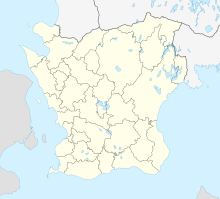
Lilla Harrie is a locality ( tätort ) in the southern Swedish province County Skåne and the historical province Scania .
The village in Kävlinge municipality is located on the Kävlingeån River , not far from the city of Lund .
history
In December 1676, Swedish troops here in advance of had Battle of Lund her camp erected. The Lilla Harriestenen is a lost rune stone that was depicted by Nils Wessman in 1740.
