Lohberg (Vacha)
| Lohberg | ||
|---|---|---|
|
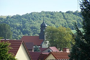
View of Unterbreizbach (2012) |
||
| height | 322.6 m above sea level NHN | |
| location | at Vacha ; Wartburgkreis , Thuringia ( Germany ) | |
| Mountains | Rhön | |
| Coordinates | 50 ° 49 ′ 23 " N , 10 ° 0 ′ 14" E | |
|
|
||
| rock | Red sandstone | |
| particularities | Wind turbines, Altstrasse | |
The Lohberg is a 322.6 m above sea level. NHN high, partially wooded elevation in the district of the city of Vacha and the community of Unterbreizbach in the Thuringian Wartburg district . In terms of its natural surroundings, the mountain in the Salzunger Werrabergland (No. 359) is part of the Stadtlengsfelder Hügelland (359.0).
About 600 m northwest of the peak of a mountain and (unnamed, via a local by-dome 309.4 m ) of Lohberg is the boundary of the municipality Philippsthal in the Hessian district Rotenburg . There is a section of the Green Belt Germany , which can be hiked on the remains of the column path of the former inner-German border . The Kammweg, which is now a hiking trail, led in the Middle Ages as a branch of the Antsanvia to Hünfeld and Fulda . In the 1990s, the first wind turbines were built near Vacha on the summit region.
Individual evidence
- ↑ a b c Map services of the Federal Agency for Nature Conservation ( information )
- ↑ Werner Röll: Geographical land survey: The natural spatial units on sheet 126 Fulda. Federal Institute for Regional Studies, Bad Godesberg 1969. → Online map (PDF; 4.2 MB)
- ↑ Official topographic maps of Thuringia 1: 10,000. Wartburgkreis, district of Gotha, district-free city of Eisenach . In: Thuringian Land Survey Office (Hrsg.): CD-ROM series Top10 . CD 2. Erfurt 1999.

