Maasnielderbeek
| Maasnielderbeek | ||
|
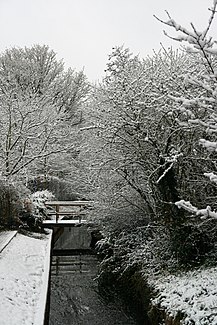
The Maasnielderbeek in winter. |
||
| Data | ||
| location | Roermond municipality , Limburg province (Netherlands) | |
| River system | Rhine | |
| Drain over | Meuse → Hollands Diep → North Sea | |
| River basin district | Meuse | |
| source | between the rural districts of Boukoul and Asenray 51 ° 12 ′ 4 " N , 6 ° 3 ′ 25" E |
|
| Source height | 28 m | |
| muzzle | in the Leeuwen district in the Meuse | |
| Mouth height | 14 m | |
| Height difference | 14 m | |
| Bottom slope | approx. 1.2 ‰ | |
| length | approx. 12 km | |
The Maasnielderbeek is a stream in the Dutch province of Limburg . The stream has its source near Boukoul and Asenray and flows alongside Donderberg, Maasniel and Leeuwen , where it flows into the Meuse . The length of the stream is approximately 12 km. The stream has its source at a height of around 28 m and flows into the Meuse at around 14 meters.
There are four historic farms in the Bachtal: Cornelishof, Heysterhof, Kloosterhof and Lintjenshof. Also there used to be the place of the place and the hill of the same name Donderberg, which the stream flows around.
course
The stream rises on the edge of a moorland area. Between Asenray and Straat, the stream cuts through a ridge that it may have dug through. The stream then follows an abandoned Meuse bed. The stream is canalised from Maasniel to Leeuwen.
Web links
- cultuurhistorische verkenning (PDF) on handreikingerfgoedenruimte.nl
