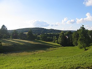
Maschberg
| Maschberg | ||
|---|---|---|
|
Maschberg |
||
| height | 190.2 m above sea level NN | |
| location | North Rhine-Westphalia , Germany | |
| Mountains | Wiehengebirge | |
| Coordinates | 52 ° 15 ′ 57 " N , 8 ° 30 ′ 10" E | |
|
|
||
| rock | Sandstone | |
The Maschberg is 190.2 m above sea level. NN high mountain in the Wiehengebirge and in the border area of Rödinghausen and Preußisch Oldendorf . The Maschberg is the highest mountain in the Rödinghauser district of Schwenningdorf .
Like almost all mountains in the Wiehengebirge, the Maschberg has an elongated ridge summit (Egge) and is only separated from the peaks to the west by Dören . Therefore, the mountain is only partially perceived as a prominent peak. The Wittekindsweg runs over the summit of the Maschberg . To the west the Wiehengebirge continues to rise towards the Nonnenstein . To the east the mountains fall to the breakthrough valley of the Great Aue up to a height of 80 m above sea level. NN from. The Wehmerhorster Bach rises southwest of the summit .
The name Maschberg refers to the Börninghauser place Masch (also Mesch ), which lies northeast of the mountain in the Eggetal .

