
Moa (West Africa)
|
Moa Makona |
||
 Catchment area of the moa |
||
| Data | ||
| location |
|
|
| source | Approximately 40 km northeast of the town of Bofossou 9 ° 0 ′ 5 ″ N , 9 ° 32 ′ 58 ″ W |
|
| Source height | 930 m | |
| muzzle |
Atlantic Ocean Coordinates: 6 ° 58 ′ 23 " N , 11 ° 35 ′ 22" W 6 ° 58 ′ 23 " N , 11 ° 35 ′ 22" W |
|
| Mouth height | 0 m | |
| Height difference | 930 m | |
| Bottom slope | 2 ‰ | |
| length | 475 km | |
| Catchment area | 19,835 km² | |
| Discharge at Moa Bridge A Eo gauge : 17,150 km² |
MNQ 1998–2014 MQ 1998–2014 Mq 1998–2014 MHQ 1998–2014 |
100 m³ / s 613 m³ / s 35.7 l / (s km²) 1560 m³ / s |
| Left tributaries | Mauwa (Magowi) | |
| Right tributaries | Ouaou , Mafissa, Meli , Male | |
| Residents in the catchment area | 1,757,912 | |
 The moa with the island of Tiwai |
||
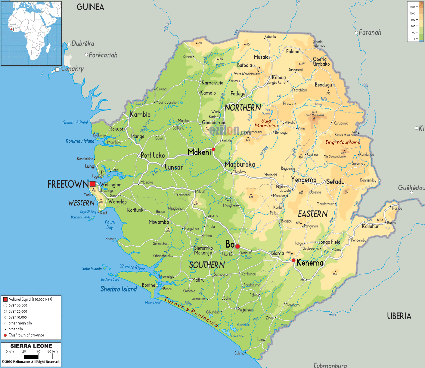
The Moa , also Makona , historically Spanish Gallinas (see Fort Lomboko ), is a river in West Africa .
course
The river has its source in the mountains of the Nzérékoré region in Guinea , about 40 km northeast of the city of Bofossou . It initially forms the border between Guinea and Liberia , flowing southwest , then between Guinea and Sierra Leone and later flows further southwest in Sierra Leone into the Atlantic . It has a total length of 425 kilometers. Its catchment area is given with an area of 17,900 to 19,835 square kilometers .
Hydrometry
The flow rate of the Moa was measured at the "Moa Bridge" gauge in the majority of the catchment area in m³ / s (values read from the diagram).

Sierra Leone
The moa flows into the Atlantic at Sulima around the island of Kakoda . With the island of Tiwai , one of the most important nature reserves of Sierra Leone is located upstream. The Moa in Sierra Leone has a length of 266 kilometers and a catchment area of 9583 square kilometers.
See also
Web links
Individual evidence
- ↑ According to US General Staff maps
- ^ A b Liberian Hydrological Services - Moa River Principal Basin Tables, Figures and Maps
- ↑ a b ECOWAS Center for Renewable Energy and Efficiency - GIS Hydropower Resource Mapping and Climate Change Scenarios for the ECOWAS Region, Country Report for Sierra Leone
- ^ Transboundary River Basins, Status and Trends. United Nations Environment Program (UNEP), January 2016.
- ↑ a b Country Files (contd.) Sierra Leone. FAO. Retrieved March 5, 2018.
- ↑ a b Map 1 Sierra Leone's river basins. Salone Water Security. Retrieved March 5, 2018.
- ^ The Statistical Digest 2007-2013 Edition. Statistics Sierra Leone, October 2014, p. 2.