Monte Grona
| Monte Grona | ||
|---|---|---|
|
Monte Grona, view from the path between Rifugio Menaggio and the summit. |
||
| height | 1736 m slm | |
| location | Como Province , Italy | |
| Mountains | Tambogroup or Lugano Prealps | |
| Dominance | 2.2 km → Bregagnino | |
| Notch height | 113 m ↓ San Amate | |
| Coordinates | 46 ° 3 '43 " N , 9 ° 12' 39" E | |
|
|
||
| particularities | View of Lake Como and Lake Lugano | |
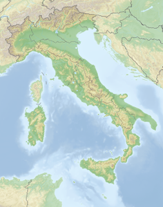
The Monte Grona is a 1736 m slm high mountain in the southern Alps ( Tambogruppe or Lugano Prealps ) between Lake Lugano and Lake Como in Lombardy in Italy .
Routes to the summit
The valley location is Breglia north of Menaggio . A mountain path begins at the Monti di Breglia (996 m). It first leads to a refuge (Rifugio Menaggio, 1,380 m). From there, in addition to the normal ascent, two other mountain trails lead to the summit: a direct steep ascent (“Direttissima”) and a viewing path (“Sentiero Panoramico”). The fourth way to the summit is a via ferrata ("Ferrata del Centenario CAO").
literature
- Eugen Hüsler : Around Lake Como. Bergverlag Rother , 3rd edition Munich 2005, ISBN 3-7633-4040-8 , p. 32/33
Web links
Commons : Monte Grona - collection of images, videos and audio files
- Monte Grona on GeoFinder.ch
- Monte Grona at summitpost.org


