Mount Webster, New Hampshire
| Mount Webster | ||
|---|---|---|
|
Mount Webster from Mount Willey seen from |
||
| height | 1192 m | |
| location | New Hampshire , USA | |
| Mountains | Presidential Range | |
| Coordinates | 44 ° 11 ′ 41 ″ N , 71 ° 23 ′ 17 ″ W | |
|
|
||
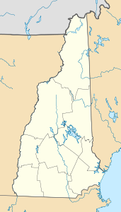
The Mount Webster is a mountain on the border of Coos County to Carroll County in New Hampshire . The mountain formerly called Notch Mountain was named after Daniel Webster (1782-1852) and is the most south-westerly point of the Presidential Range in the White Mountains .
Mount Webster is connected to Mount Jackson in the northeast and Mount Willey in the southwest via Crawford Notch .
The west side of Mount Webster drains directly into the Saco River , which flows into the Gulf of Maine at Saco . The northern and southeastern side also drains via Silver Cascade and Webster Brook into the Saco River.
Mount Webster also forms the western boundary of the Presidential Range - Dry River Wilderness .
The Appalachian Trail , a 3,500 km national scenic trail from Georgia to Maine . runs along the ridge of the Presidential Range over Mount Webster.

