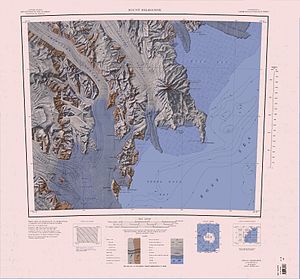
Nansen ice cream board
| Nansen ice cream board | ||
|---|---|---|
|
The Nansen ice table above the Drygalski ice tongue protruding into the Ross Sea |
||
| location | Victoria Land , East Antarctica | |
| Mountains | Prince Albert Mountains , Transantarctic Mountains | |
| length | 48 km | |
| surface | 768 km² | |
| Coordinates | 74 ° 53 ′ S , 163 ° 10 ′ E | |
|
|
||
| drainage | Terra Nova Bay | |
The Nansen Ice Table is an ice shelf on the Scott Coast of East Antarctica, Victoria Land . It is fed by the Priestley and Reeves glaciers and abuts the north side of the Drygalski ice tongue .
Participants in the Nimrod Expedition (1907–1909), led by the British polar explorer Ernest Shackleton, discovered the ice tablet. The area was later explored in more detail by participants in the British Terra Nova Expedition (1910-1913). The Australian geologist Frank Debenham gave the formation the name Nansen Sheet ( English for Nansen board ) in reference to the nearby Mount Nansen .
See also
Web links
- Nansen Ice Sheet in the Geographic Names Information System of the United States Geological Survey (English)
- Nansen Ice Sheet on geographic.org (English)
- Nansen Sheet. In: Kenneth J. Bertrand and Fred G. Alberts, Geographic names of Antarctica , US Govt. Print. Off., Washington 1956, p. 221 (English)


