Zall Gjoçaj National Park
| Parku Kombëtar Zall Gjoçaj | ||
|---|---|---|
| Landscape in the national park | ||
|
|
||
| Location: | Dibra Qark , Albania | |
| Specialty: | Wooded area with many springs and streams | |
| Next city: | Burrel | |
| Surface: | 140 ha | |
| Founding: | 1996 | |
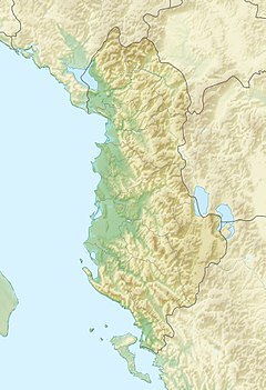
The Zall Gjoçaj National Park ( Albanian Parku Kombëtar Zall Gjoçaj ) is a national park in north-eastern Bania about 40 kilometers as the crow flies northeast of Burrel in the municipality of Mat . In the north it borders directly on the Lura National Park . The reserve was established in 1996 and comprises a forest area in a mountain valley with an area of 140 hectares. In the forests of the national park there are water sources and streams.
On the west side of the mountain valley is the mountain Malthit e keq ( 1840 m above sea level ), the highest point in the park. In the south-west the national park borders on the Qafa e Thanës pass ( Kornelkirschen pass ; 1690 m above sea level ). In the north lies at around 1500 m above sea level. A. The lowest point in the park.
The Mali i Dejës ( 2245 m above sea level ), the highest mountain in the region and a limestone ridge that slopes steeply to the east, rises just a little to the west of the national park . The village of Zall-Gjoçaj is about five kilometers to the northwest .
There is no infrastructure for visitors in the national park, nor is the area accessible by road. Only at Qafa e Thanës is there a bad road for loggers. The park is probably easier to reach from the also very poor slope through the Lura National Park, which passes it about two kilometers to the east. From this slope, dirt roads lead into the valley.


