
Nea Nicomidia
|
Nea Nicomidia Νέα Νικομήδεια (Τοπική Κοινότητα Νέας Νικομηδείας) |
|||
|---|---|---|---|
|
|||
| Basic data | |||
| Country |
|
||
| region | Central Macedonia | ||
| Regional district | Imathia | ||
| local community | Veria | ||
| Parish | Apostolos Pavlos | ||
| Geographic coordinates | 40 ° 35 ′ N , 22 ° 15 ′ E | ||
| Height above d. M. |
25 m (average) |
||
| surface | 8.678 km² | ||
| Residents | 801 (2011) | ||
| Local division | 1 | ||
| Post Code | 59100 | ||

Nea Nicomidia ( Greek Νέα Νικομήδεια ( f. Sg. )) Is a village with 801 inhabitants in the municipality of Veria in the Greek region of Central Macedonia .
location
Nea Nicomidia is located in the Macedonian Plain about 10 km northeast of Veria on the eastern side of the Moglenitsas river . The area of the local community extends to 8.678 km² between the Loudias in the north and the Moglenitsas in the south and the local communities Lykogianni in the west and Makrochori in the east. Beyond the Loudias, the local community of Agia Marina borders.
history
About 2 km north of the village is the excavation site Nea Nikomedeia with early Neolithic remains of Europe's first peasant culture.
The existence of a settlement near Nea Nicomidia in Hellenistic times is documented by historical inscriptions.
From the end of the 19th century, the village has been handed down with different Bulgarian, Greek and Macedonian spellings. Increasing propaganda influences in the weakened Ottoman Empire led to the development of national identities among the Macedonian population. A cultural and religious conflict of many years developed between the ethnic groups, which developed into a violent partisan war between the Greek and Bulgarian populations and lasted until the Balkan Wars . After the end of 1913, the southern part of the Macedonia region fell to Greece.
In Pinelopi Delta's historical novel Sta mystiká tou Váltou ( Στα μυστικά του Βάλτου 'In the secrets of the swamp' ) about the Macedonian struggle , the village is mentioned as Braniates .
After the catastrophe in Asia Minor and the population exchange between Greece and Turkey , it was necessary to provide the settled refugees with arable land. Drainage work carried out to gain agriculturally usable areas and the draining of Lake Giannitsa with the surrounding large swamp areas in the 1930s changed the landscape of the Giannitsa plain (Κάμπου Γιαννιτσών). The lower course of the Moglenitsas , which formerly flowed more than 10 km to the north, was relocated immediately to the west of the village and, like the Loudias, expanded like a canal .
Administrative history
After Macedonia was annexed to Greece, Braniates was slammed in 1918 by the new administrative structure of the rural community of Mikrougouzi in what was then the prefecture of Thessaloniki . The rural municipality of Mikrougouzi was renamed Makrochori in 1940 and incorporated into Imathia Prefecture in 1946. The village of Braniates received the status of a rural parish in 1948 and was renamed Nea Nicomidia in 1953 . With the municipality reform in 1997 , Nea Nikomidia was merged with four other rural municipalities to form the municipality of Apostolos Pavlos , which finally became the municipality of Apostolos Pavlos in the municipality of Veria after the 2011 administrative reform .
Population development
From the late 19th century onwards, several spelling variants are known, and information on membership of ethnic groups also varies. Around 1878 the village of Praïnastai was inhabited by 180 Greeks, called Brainat in 1904 or, according to information from 1905, Bratinichta was inhabited by 80 Bulgarians. In 1912 the population of Brainat (Μπραϊνάτ) was Macedonian-speaking and Christian, in the following year Brainiata (Μπραΐνιατα) had 29 inhabitants. After the population exchange between Greece and Turkey in 1923, 243 Christian refugees were settled in the village. The population composition is given in 1927 as mixed Macedonian and refugees.
- Population development of Nea Nicomidia
| 1920 | 1928 | 1940 | 1951 | 1961 | 1971 | 1981 | 1991 | 2001 | 2011 |
|---|---|---|---|---|---|---|---|---|---|
| 53 | 278 | 841 | 880 | 949 | 877 | 948 | 813 | 866 | 801 |
Individual evidence
- ↑ National Statistical Service of Greece (ΕΣΥΕ) according to the 2001 census , p. 85. (PDF, 793 kB)
- ↑ Results of the 2011 census at the National Statistical Service of Greece (ΕΛ.ΣΤΑΤ) ( Memento from June 27, 2015 in the Internet Archive ) (Excel document, 2.6 MB)
- ↑ Stella Souvatzi: A Social Archeology of Households in Neolithic Greece. An Anthropological Approach , Cambridge University Press 2008, p. 64.
- ↑ Argyro B. Tataki: Ancient Beroea prosopography and society. Research Center for Greek and Roman Antiquity, National Hellenic Research Foundation (Ed.), Athens 1988, p. 48. ISBN 960-7094-01-8 PDF Online
- ↑ Φυσικό Περιβάλλον, Δήμος Πέλλας
- ↑ Μπρανιάται - Νέα Νικομήδεια, Μετονομασίες των οικισμών της Ελλάδας
- ↑ Κεντρική Ένωση Δήμων και Κοινοτήτων Ελλάδας, Ελληνική Εταιρία Τοπικής Ανάπτυξης και Αυτοδιοίκησης (ed.): Sanakirja Διοικητικών Μεταβολών των Δή microns ων και Κοινοτήτων (1912-2001) . 2 (Τόμος Β, λ – ω). Athens 2002, ISBN 960-7509-47-1 , pp. 67, 137, 174, 195 .
- ↑ Alexandre Synvet: Les Grecs de l'Empire ottoman: Etude statistique et ethnographique. Constantinople 1878, p. 40. Online
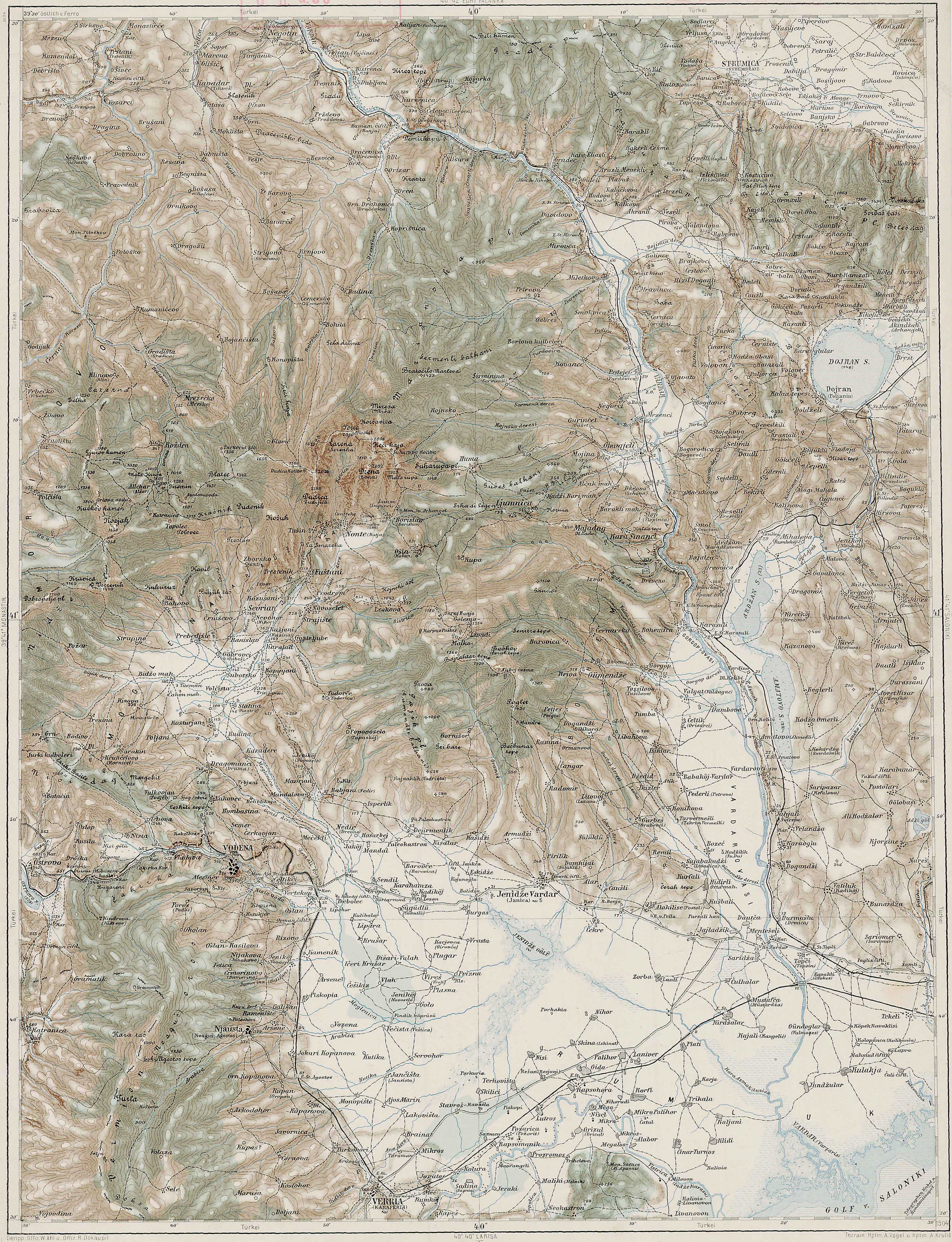
- ↑ Franzisco-Josephinische Landesaufnahme map sheet 40-41 Vodena
- ↑ DM Brancoff: La Macedoine et sa population chretienne. Paris 1905, p. 222 f. On-line
- ↑ Dimitris Lithoxou (Δημήτρης Λιθοξόου): Πληθυσμός και οικισμοί της περιοχής Βέροιας 1886–1927. 26. Branjate (Νέα Νικομήδεια)
- ↑ Population of Nea Nicomidia 1920–2011, Greek Statistical Office ELSTAT, Digital Library (Greek)