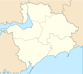
Novopetrivka (Berdyansk)
| Novopetrivka | ||
| Новопетрівка | ||

|
|
|
| Basic data | ||
|---|---|---|
| Oblast : | Zaporizhia Oblast | |
| Rajon : | Berdyansk Raion | |
| Height : | 2 m | |
| Area : | 3.532 km² | |
| Residents : | 2,161 (2004) | |
| Population density : | 612 inhabitants per km² | |
| Postcodes : | 71162 | |
| Area code : | +380 6153 | |
| Geographic location : | 46 ° 50 ' N , 36 ° 53' E | |
| KOATUU : | 2320684501 | |
| Administrative structure : | 3 villages | |
| Address: | вул. Леніна 38 71 162 с. Новопетрівка |
|
| Statistical information | ||
|
|
||
Novopetriwka ( Ukrainian Новопетрівка ; Russian Новопетровка Novopetrowka ) is a village on the coast of the Sea of Azov in the south of the Ukrainian Oblast of Zaporizhia with about 2100 inhabitants (2004).
The village, which emerged from a fortress built in 1770, is located at the mouth of the 125 km long Berda into the Sea of Azov. Nowopetriwka is the administrative center of the same name, 112.793 km² District Municipality in Raion Berdyansk to which even the villages Kulykiwske ( Куликівське ⊙ ) with about 60 inhabitants and Staropetriwka ( Старопетрівка ⊙ include) with about 1000 inhabitants.
Novopetrivka is 14 km northeast of Berdyansk district center . The city of Mariupol is about 70 km northeast and the Zaporizhia Oblast Center about 200 km northwest of Novopetrivka.
Individual evidence
- ^ Website of the village on the website of the Verkhovna Rada , accessed on June 17, 2017 (Ukrainian)

