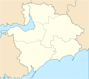
Novoprokopivka
| Novoprokopivka | ||
| Новопрокопівка | ||

|
|
|
| Basic data | ||
|---|---|---|
| Oblast : | Zaporizhia Oblast | |
| Rajon : | Tokmak district | |
| Height : | 139 m | |
| Area : | 4.517 km² | |
| Residents : | 747 (2001) | |
| Population density : | 165 inhabitants per km² | |
| Postcodes : | 71721 | |
| Area code : | +380 6178 | |
| Geographic location : | 47 ° 25 ' N , 35 ° 50' E | |
| KOATUU : | 2325283201 | |
| Administrative structure : | 4 villages | |
| Address: | вул. Нова буд. 10 71721 с. Новопрокопівка |
|
| Website : | City council website | |
| Statistical information | ||
|
|
||
Novoprokopivka ( Ukrainian Новопрокопівка ; Russian Новопрокоповка Novoprokopovka ) is a village in the center of the Ukrainian Oblast of Zaporizhia with about 750 inhabitants (2001).
The village, founded in 1882 by several dozen families from Mala Tokmachka , was called Verhyna ( Вершина ) before it was given its current name in 1961 .
Novoprokopivka is the administrative center of the same-named, 127.91 km² district municipality in the north of Tokmak district , to which the villages Iltschenkowe ( Ільченкове , ⊙ ) with about 150 inhabitants, Robotyne ( Роботине , ⊙ ) with about 450 inhabitants and Solodka ( Солодка Балка , ⊙ ) with about 180 inhabitants.
The village is located at an altitude of 139 m on the watershed of the Kinska and Molochna rivers , 23 km northeast of the Tokmak district center and 82 km southeast of the Zaporizhia Oblast center .
Territorial road T-04-08 runs through the village .
Web links
Individual evidence
- ↑ a b local website on the official website of the Verkhovna Rada ; accessed on August 20, 2020 (Ukrainian)
- ↑ history Nowoprokopiwka in the history of the towns and villages of the Ukrainian SSR ; accessed on August 20, 2020 (Ukrainian)
- ^ Website of the district council on the official website of the Verkhovna Rada; accessed on August 20, 2020 (Ukrainian)


