Oparypsy
| Oparypsy | ||
| Опарипси | ||

|
|
|
| Basic data | ||
|---|---|---|
| Oblast : | Rivne Oblast | |
| Rajon : | Radyvyliv district | |
| Height : | 218 m | |
| Area : | 1.367 km² | |
| Residents : | 984 (2019) | |
| Population density : | 720 inhabitants per km² | |
| Postcodes : | 35506 | |
| Area code : | +380 3633 | |
| Geographic location : | 50 ° 8 ' N , 25 ° 14' E | |
| KOATUU : | 5625881604 | |
| Administrative structure : | 1 village | |
| Address: | вул. Шевченка 36 35 561 с. Бугаївка |
|
| Website : | Official website of the district council | |
| Statistical information | ||
|
|
||
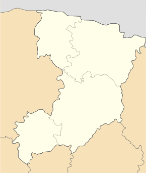
Oparypsy ( Ukrainian Опарипси ; Russian Опарипсы Oparipsy , Polish Oparypsy ) is a village in the southwest of the Ukrainian Rivne Oblast with about 1000 inhabitants (2019).
The village, first mentioned in writing in 1545, belongs administratively to the rural community Buhajiwka ( Бугаївська територіальна громада ) founded in 2019 in the west of Radywyliw Raion . Previously the village belonged to the Buhajiwka district council . At the 2001 census, the village had 799 residents.
The location situated at an altitude of 218 m on the banks of Sloniwka ( Слонівка ), a 49 km long, right tributary of Styr , 3 km south of the community center Buhajiwka ( Бугаївка ), 2 km to the west of Rajonzentrum Radyvyliv and 100 km southwest of the Oblastzentrum Riwne . The regional road P-26 runs through the village and joins the trunk road M 06 / E 40 to the southwest of the village .
Web links
- Municipal Council website on rada.info (Ukrainian)
- Oparypsy . In: Filip Sulimierski, Władysław Walewski (eds.): Słownik geograficzny Królestwa Polskiego i innych krajów słowiańskich . tape 7 : Netrebka – Perepiat . Walewskiego, Warsaw 1886, p. 544 (Polish, edu.pl ).
- Oparypsy . In: Filip Sulimierski, Władysław Walewski (eds.): Słownik geograficzny Królestwa Polskiego i innych krajów słowiańskich . tape 15 , part 2: Januszpol – Wola Justowska . Walewskiego, Warsaw 1902, p. 411 (Polish, edu.pl ).
Individual evidence
- ↑ Official website of the district council ; accessed on June 5, 2020 (Ukrainian)
- ↑ Historical background - local history Oparypsy on the official website of the district council; accessed on June 5, 2020 (Ukrainian)
- ↑ Local website on the official website of the Verkhovna Rada ; accessed on June 5, 2020 (Ukrainian)


