Pages River
| Pages River | ||
|
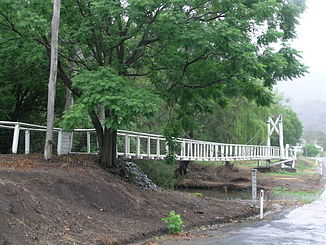
Pages River in Murrurrundi |
||
| Data | ||
| location | New South Wales , Australia | |
| River system | Hunter River | |
| Drain over | Hunter River → Tasman Sea | |
| source | Mount Gregson in the Liverpool Range 31 ° 48 ′ 3 ″ S , 150 ° 42 ′ 55 ″ E |
|
| Source height | 1100 m | |
| muzzle |
Hunter River east of Aberdeen Coordinates: 32 ° 8 ′ 4 " S , 150 ° 55 ′ 45" E 32 ° 8 ′ 4 " S , 150 ° 55 ′ 45" E |
|
| Mouth height | 174 m | |
| Height difference | 926 m | |
| Bottom slope | 9.5 ‰ | |
| length | 97 km | |
| Left tributaries | Warlands Creek, Scotts Creek, Isis River | |
| Right tributaries | Kerwell Creek, Glen Creek | |
| Medium-sized cities | Murrurrundi | |
| Small towns | Gundy | |
| Communities | Blandford | |
The Pages River is a river in the east of the Australian state of New South Wales .
course
It rises on the eastern slopes of Mount Gregson in the Liverpool Range , part of the Great Dividing Range . From there it first flows northeast to the city of Murrurrundi . Then it follows the New England Highway on its east side first to the southeast and then to the south.
On its way it flows through the Camerons Gorge Nature Reserve , a state reserve, and then passes Lake Glenbawn to the west. East of Aberdeen it flows into the Hunter River .
