
Puerto Carabuco
| Puerto Carabuco | |||
|---|---|---|---|
| Basic data | |||
| Residents (state) | 555 pop. (2012 census) | ||
| height | 3830 m | ||
| Post Code | 02-0403-0101-0001 | ||
| Telephone code | (+591) | ||
| Coordinates | 15 ° 45 ′ S , 69 ° 4 ′ W | ||
|
|||
| politics | |||
| Department | La Paz | ||
| province | Eliodoro Camacho Province | ||
| climate | |||
 Climate diagram Puerto Acosta |
|||

Puerto Carabuco is a town in the La Paz department in the highlands of the South American Andean state of Bolivia .
Location in the vicinity
Puerto Carabuco is the central place of the district ( Bolivian : Municipio ) Puerto Carabuco in the province of Eliodoro Camacho . The village is located at an altitude of 3830 m on the Bolivian plateau on the eastern bank of Lake Titicaca between the villages of Chaguaya and Escoma .
geography
Puerto Carabuco is located on the Bolivian Altiplano on the western edge of the Cordillera Real . The region has a distinctive time-of-day climate in which the mean temperature fluctuations during the day are more pronounced than during the seasons.
The annual average temperature of the region is just under 9 ° C, the annual precipitation is about 850 mm (see climate diagram Puerto Acosta). The monthly average temperatures fluctuate only insignificantly between almost 6 ° C in July and a good 10 ° C from November to January. The monthly precipitation is between under 15 mm in June to August and a humidity period from December to March with values between 120 and 170 mm.
Transport network
Puerto Carabuco is 154 kilometers by road northwest of La Paz , the capital of the department of the same name.
From La Paz the asphalted highway Ruta 2 leads 70 kilometers north to Huarina , from there another 84 kilometers the Ruta 16 via Achacachi and Ancoraimes to Puerto Carabuco and on to Escoma and Puerto Acosta .
population
The population of the village has increased by around a quarter in the past two decades:
| year | Residents | source |
|---|---|---|
| 1992 | 440 | census |
| 2001 | 416 | census |
| 2012 | 555 | census |
Due to the historically grown population distribution, the region has a high proportion of Aymara population, in the municipality of Puerto Carabuco 97.0 percent of the population speak the Aymara language .
Individual evidence
- ^ INE - Instituto Nacional de Estadística Bolivia 1992
- ^ INE - Instituto Nacional de Estadística Bolivia 2001
- ↑ INE - Instituto Nacional de Estadística Bolivia 2012 ( Memento of the original from July 22, 2011 in the Internet Archive ) Info: The archive link has been inserted automatically and has not yet been checked. Please check the original and archive link according to the instructions and then remove this notice.
- ↑ INE social data 2001 (PDF; 12.2 MB)
Web links
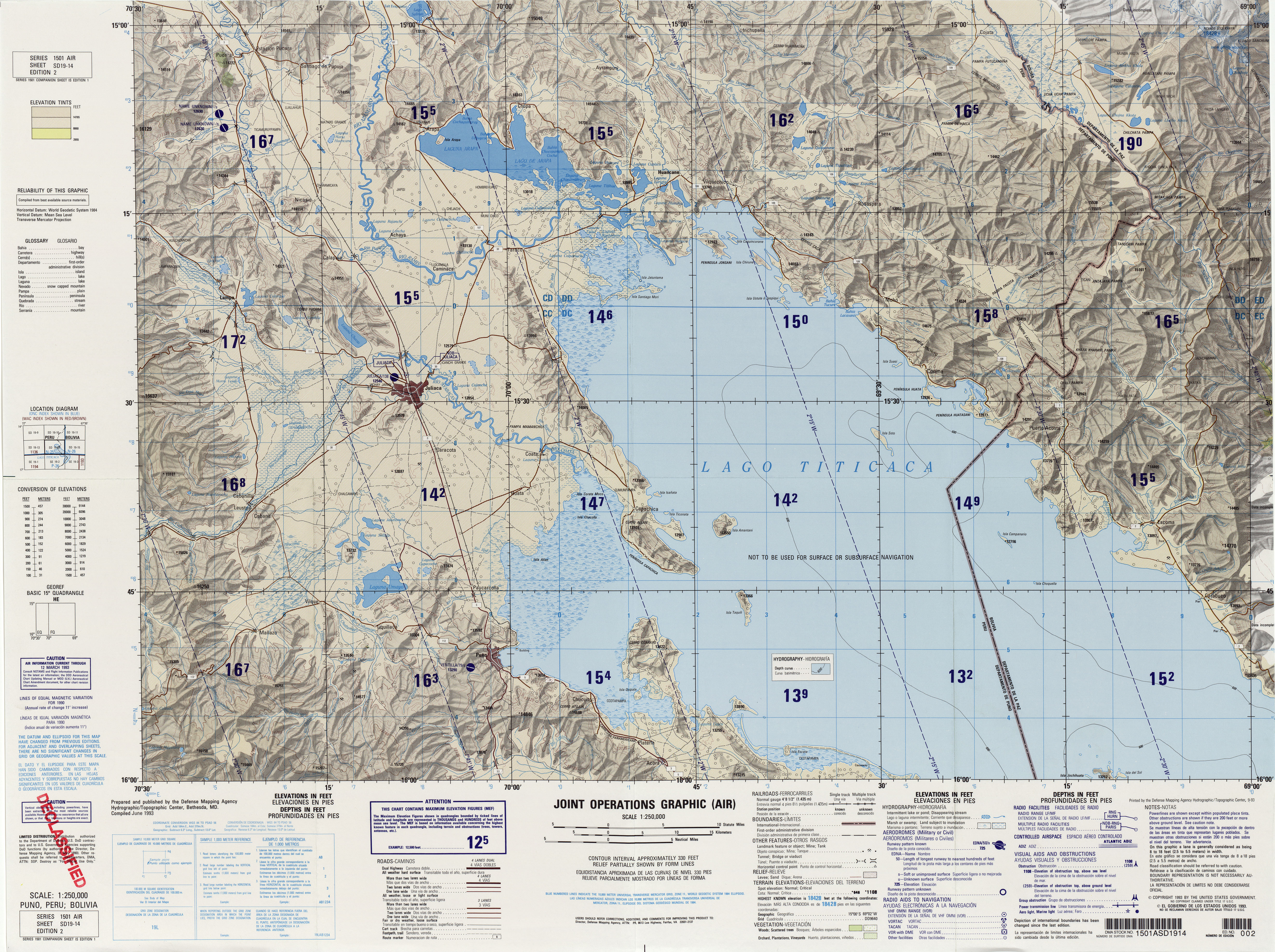
- Relief map of the Puno / Titicaca region 1: 250,000 (JPG; 8.56 MB)
- Municipio Puerto Carabuco - General Maps No. 20403
- Municipio Puerto Carabuco - detailed map and population data (PDF; 408 kB) ( Spanish )
- Departamento La Paz - social data of the municipalities (PDF; 11.63 MB) ( Spanish )
- Impressions from Puerto Carabuco ( English )