Pustovijtivka
| Pustovijtivka | ||
| Пустовійтівка | ||

|
|
|
| Basic data | ||
|---|---|---|
| Oblast : | Sumy Oblast | |
| Rajon : | Romny district | |
| Height : | 119 m | |
| Area : | Information is missing | |
| Residents : | 1,252 (2001) | |
| Postcodes : | 42020 | |
| Area code : | +380 5448 | |
| Geographic location : | 50 ° 47 ' N , 33 ° 35' E | |
| KOATUU : | 5924187901 | |
| Administrative structure : | 7 villages | |
| Address: | вул. Центральна буд. 69а 42020 с. Пустовійтівка |
|
| Website : | City council website | |
| Statistical information | ||
|
|
||
Pustowijtiwka ( Ukrainian Пустовійтівка ; Russian Пустовойтовка Pustowoitowka ) is a village in the Ukrainian Sumy Oblast with about 1250 inhabitants (2001).
The first time in 1252 in writing mentioned village is the administrative center of the eponymous district municipality in the east of Rajon Romny with more than 3,300 inhabitants that even the villages Wowkiwzi ( Вовківці ) Herassymiwka ( Герасимівка ) Sinowe ( Зінове ) Prawdjuky ( Правдюки ) Skrypali ( Скрипалі ) and Schyliwske ( Шилівське ) belong.
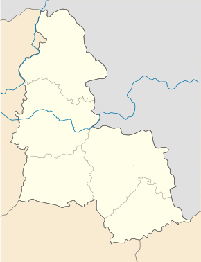
The village is located on the left bank of the Sula , a 363 km long left tributary of the Dnieper , 12 km northeast of the district center of Romny and about 95 km west of the center of Sumy Oblast .
The N 07 road runs south of the village .
Sons and daughters of the village
- Petro Kalnyschewskyj (1691–1803), last ataman of the Zaporozhian Cossacks and saint of the Ukrainian Orthodox Church
Web links
- Website for the Church of the Holy Trinity from 1773 (Ukrainian)
- Local history of Pustovijtivka in the history of towns and villages of the Ukrainian SSR (Ukrainian)
Individual evidence
- ↑ Local website on the official website of the Verkhovna Rada ; accessed on January 14, 2018 (Ukrainian)
- ↑ Website for the town on tutbuv.com ; accessed on January 14, 2018 (Ukrainian)
- ^ Website of the district council on the official website of the Verkhovna Rada; accessed on January 14, 2018 (Ukrainian)


