Rainy Lake
|
Rainy Lake Lac à la Pluie |
||
|---|---|---|

|
||
| Morans Bay on Rainy Lake | ||
| Geographical location |
Ontario ( Canada ), Minnesota ( USA ) |
|
| Tributaries |
Seine River , Big Turtle River , Pipestone River , Manitou River , from Namakan Lake |
|
| Drain | Rainy River | |
| Islands | circa 1600 | |
| Location close to the shore | International Falls | |
| Data | ||
| Coordinates | 48 ° 38 ′ N , 93 ° 1 ′ W | |
|
|
||
| Altitude above sea level | 338 m | |
| surface | 932 km² | |
| length | 80 km | |
| width | 48 km | |
| Maximum depth | approx. 50 m | |
| Catchment area | 38,600 km² | |

|
||
| Satellite image of Rainy Lake | ||
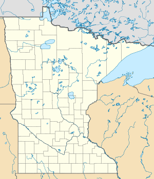
The Rainy Lake ( French Lac à la Pluie) is a 932 km² large lake in the Canadian province of Ontario and the US state of Minnesota .
It is located in Voyageurs National Park north of Kabetogama Lake and Namakan Lake . It is up to 50 meters deep, 80 kilometers long and 48 kilometers wide. It lies at 338 m and has around 1600 islands. It is a relic of the prehistoric lake Agassizsee , which formerly covered an area of 440,000 km². It flows through the Rainy River and is a popular fishing spot.
The following types of fish are caught in the lake: black crappie , pike , stone perch , black bass and glass eye perch .
Web links
Commons : Rainy Lake - collection of pictures, videos and audio files
Individual evidence
- ^ A b c Ontario Ministry of Natural Resources - Fishing Destination: Rainy Lake
- ↑ a b c Minnesota Dept. of Natural Resources
- ↑ Rainy River at Fort Frances gauge - hydrographic data from R-ArcticNET
