Stiglreith transmitter
|
Stiglreith transmitter
INZING2
|
||
|---|---|---|
 Image wanted
|
||
| Basic data | ||
| Place: | Stiglreith ( Stubai Alps ) | |
| State: | Tyrol | |
| Country: | Austria | |
| Altitude : | 1380 m above sea level A. | |
| Coordinates: 47 ° 14 ′ 15.6 ″ N , 11 ° 13 ′ 12 ″ E | ||
| Use: | Broadcasting station | |
| Accessibility: | Transmission tower not open to the public | |
| Owner : | Private | |
| Tower data | ||
| Data on the transmission system | ||
| Waveband : | FM transmitter | |
| Radio : | VHF broadcasting | |
| Position map | ||
|
|
||
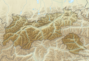
The Stiglreith transmitter is located in Stiglreith on the slope of the Rangger Köpfl in the Austrian municipality of Oberperfuss , about 15 km west of Innsbruck as the crow flies . The station is used by private broadcasters and covers the area from Telfs to Rum , partly with RDS . The internal name of the transmitter is: Inzing 2 .
FM TRANSMITTER
| Radio station | Transmission power | frequency |
|---|---|---|
| Energy Innsbruck | 0.071 kW | 107.70 MHz |
| Classic radio | 0.1 kW | 95.10 MHz |
| Antenna Tyrol | 0.081 kW | 97.60 MHz |
| Radio U1 Tirol | 0.072 kW | 94.20 MHz |
| LoungeFM | 0.1 kW | 101.00 MHz |
| Free wheel | 0.045 kW | 89.60 MHz |
Transmission area
The transmission area extends from Rum (Tyrol) (not free from interference) / Völs (mostly free from interference) to Telfs (mostly free from interference) and to Seefeld in Tirol (mostly free from interference).
Web links
Individual evidence
- ↑ New radio planned for Innsbruck - RADIO SCENE. In: radioszene.de. Retrieved November 20, 2015 .

