Shingo La
| Shingo La | |||
|---|---|---|---|
|
|
|||
| Compass direction | north | south | |
| Pass height | 5040 m | ||
| region | Union Territory of Ladakh | State Himachal Pradesh | |
| Watershed | Kargyag → Lungnak → Zanskar → Indus | Zanskar Chhu → Bhaga → Chanab → Panjnad → Indus | |
| Valley locations | Padum | Darcha | |
| expansion | Mountain path | ||
| Mountains | Himalayas | ||
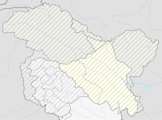
| Map (Ladakh) | |||
|
|
|||
| Coordinates | 32 ° 54 ′ 31 ″ N , 77 ° 12 ′ 3 ″ E | ||
The Shingo La is a high mountain pass in the West Himalayas on the border of the Indian state of Himachal Pradesh and the Union Territory of Ladakh .
The 5040 m high Shingo La is used as a trekking route. In the south this begins at Darcha , 30 km northeast of Keylong in Lahaul on the Manali-Leh Highway .
The 9-day hiking route leads up the Zanskar Chhu river valley to Zanskar Sumdo and on to Shingo La. To the north the route continues along the Kargyag and Lungnak (also Tsarap ) rivers to Padum , the center of the Zanskar region.
Web links
Commons : Shingo La - collection of images, videos and audio files
- Darcha Padum Trekking at trekkinginladakh.com

