Sokolik
| Sokolik (Forstberg) | ||
|---|---|---|
|
Walkable rock on the Forstberg |
||
| height | 642 m npm | |
| location | Lower Silesia , Poland | |
| Mountains | Rudawy Janowickie | |
| Coordinates | 50 ° 52 '11 " N , 15 ° 52' 10" E | |
|
|
||
| rock | granite | |
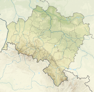
The Sokolik (German Forstberg ) forms the second highest peak in the Falkenberge ( Sokole Góry ) in the area of the Landeshuter Ridge ( Rudawy Janowickie ) in the Lower Silesian Voivodeship . Together with the neighboring Kreuzberg ( Krzyżna Góra ), the Forstberg forms a striking double formation, which is a landmark of the Hirschberg Valley .
Location and surroundings
The mountain is about 2 km north of Fischbach ( Karpniki ) and consists of two summit rocks, the accessible western rock (642 m) and the climbing rock (623 m). The steel viewing platform and the stairs, originally made of wood, were built in 1885 on the initiative of the Giant Mountains Association . Up until 1945 there was also a summit book here, in which tourists could register. In addition to the Bober Valley, the panorama includes the following mountain ranges:
- Bober-Katzbach Mountains
- Lead Mountain Ridge (Góry Ołowiane)
- Landeshuter Kamm (Rudawy Janowickie)
- Giant Mountains with Schneekoppe
The Forstberg belongs to the Landeshuter Kamm Landscape Protection Park (Rudawski Park Krajobrazowy).
Access
Hiking trails lead from Fischbach ( Karpniki ), Rohrlach ( Trzcińsko ) and Boberstein (Bobrów) into the Falkenberge. The easiest access is from the parking lot at Fischbacher Pass (Przełęcz Karpnicka, 475 m) on the road from Fischbach to Jannowitz ( Janowice Wielkie ), from here you can also reach the “Schweizerei” (Polish: Szwajcarka), a former forester's house, with the nearby Silberstein.


