Steinernes Tor (Tyrol)
| Steinernes Tor (Tyrol) | |||
|---|---|---|---|
|
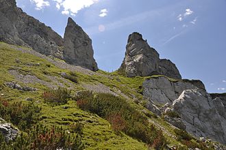
The stone gate north side |
|||
| Pass height | 1955 m above sea level A. | ||
| region | Tyrol , Austria | ||
| Mountains | Brandenberg Alps | ||
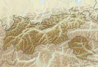
| Map (Tyrol) | |||
|
|
|||
| Coordinates | 47 ° 27 '27 " N , 11 ° 44' 57" E | ||
The stone gate is 1955 m above sea level. A. high alpine transition in the Rofan at Achensee in Tyrol . It is formed by a striking cut in the rocky connecting ridge between Klobenjoch and Streichkopf . A hiking trail that connects Dalfazalm and Kotalm leads through the stone gate .
Demarcation
The height of 1976 m, often mentioned in connection with the Stone Gate, refers to the Kotalmsattel located about 100 m east of the Stone Gate . The path runs over the Kotalmsattel towards Streichkopf and Hochiss .


