Sulzberger Bay
| Sulzberger Bay | ||
|---|---|---|
|
Environment map |
||
| Waters | Ross Sea | |
| Land mass | Marie Byrd Land , West Antarctica | |
| Geographical location | 77 ° 0 ′ 0 ″ S , 152 ° 0 ′ 0 ″ W | |
|
|
||
| Islands | Fisher Island , White Islands | |
| Tributaries | Butler Glacier , Gerry Glacier , Stewart Glacier , Swinburne Ice Shelf | |
|
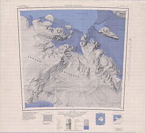
Map sheet with Sulzberger Bay in the northeast of the Edward VII Peninsula |
||
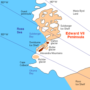
The Sulzberger Bay is a bay at the Saunders Coast of the West Antarctic Marie Byrd Land . It includes the edge of the Sulzberger Ice Shelf between Fisher Island and Vollmer Island .
It was discovered during the first Antarctic expedition (1928–1930) by the American polar explorer Richard Evelyn Byrd . Byrd named it after the newspaper editor Arthur Hays Sulzberger (1891-1968), who financially supported this and Byrd's second Antarctic expedition (1933-1935).
Web links
- Sulzberger Bay in the Geographic Names Information System of the United States Geological Survey (English)
- Sulzberger Bay on geographic.org (English)


