Surat (Queensland)
| Surat | |||||||
|---|---|---|---|---|---|---|---|
 Hall of the Warroo Shire in Surat |
|||||||
|
|||||||
|
|||||||
|
|||||||
|
|||||||
|
|
|||||||
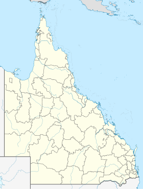
Surat is a small country town in the southeast of the Australian state of Queensland . This is located on the Balonne River , approx. 75 km south of Roma and approx. 450 km west of Brisbane . It can be reached by car via the Carnarvon Highway and Surat Developmental Road . The 2016 census counted 407 residents.
history
The area was first mapped in 1846 by Surveyor General Sir Thomas Mitchell . Pastoralists had settled in the area by the late 1840s , and in 1849 Mitchell hired one of his surveyors named Burrowes to select a site for a settlement on the Balonne River. Burrowes did so and named the new city after the Indian diamond cutter town of Surat , where he had previously lived.
economy
There are oil fields south of the city.
Web links
Commons : Surat (Queensland) - Collection of pictures, videos and audio files
- Maranoa Online - Official website of the Maranoa region (around Surat)
- Queensland Places: Surat . University of Queensland
Individual evidence
- ↑ SURAT . In: Climate Averages for Australian Sites . Bureau of Meteorology . Retrieved January 30, 2010.
- ↑ a b Australian Bureau of Statistics : Surat (L) ( English ) In: 2016 Census QuickStats . June 27, 2017. Retrieved April 15, 2020.
- ^ University of Queensland : Queensland Places . Retrieved May 31, 2012.
