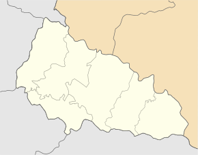
Tereblja
| Tereblja | ||
| Теребля | ||

|
|
|
| Basic data | ||
|---|---|---|
| Oblast : | Zakarpattia Oblast | |
| Rajon : | Tyachiv Raion | |
| Height : | 267 m | |
| Area : | 33 km² | |
| Residents : | 3,705 (2001) | |
| Population density : | 112 inhabitants per km² | |
| Postcodes : | 90550 | |
| Area code : | +380 3134 | |
| Geographic location : | 48 ° 7 ' N , 23 ° 36' E | |
| KOATUU : | 2124487001 | |
| Administrative structure : | 1 village | |
| Mayor : | Mykola Zjoka | |
| Address: | вул. Центральна 8 90 550 с. Теребля |
|
| Statistical information | ||
|
|
||
Tereblja (Ukrainian and Russian Теребля ; Slovak Terebľa , Hungarian Talaborfalu, Talaborfalva ) is a village in the south of the Ukrainian Oblast Zakarpattia in the valley of the river Tereblja with about 3700 inhabitants.
The village, first mentioned in writing in 1389, is located in the historical Maramureş region , about 18 kilometers north of the Rajon capital Tyachiv and 108 kilometers east of the oblast capital Uzhhorod . It forms an independent district council in the south of Tyachiv Rajon .


