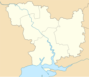
Trykraty
| Trykraty | ||
| Трикрати | ||

|
|
|
| Basic data | ||
|---|---|---|
| Oblast : | Mykolaiv Oblast | |
| Rajon : | Voznesensk Raion | |
| Height : | 56 m | |
| Area : | 1.756 km² | |
| Residents : | 2,009 (2001) | |
| Population density : | 1,144 inhabitants per km² | |
| Postcodes : | 56535 | |
| Area code : | +380 5431 | |
| Geographic location : | 47 ° 43 ' N , 31 ° 24' E | |
| KOATUU : | 4822085001 | |
| Administrative structure : | 1 village | |
| Address: | майд. Незалежності буд. 54 56535 с. Трикрати |
|
| Website : | Website of the former municipal council | |
| Statistical information | ||
|
|
||
Trykraty ( Ukrainian Трикрати ; Russian Трикраты Trikraty ) is a village in the Ukrainian Oblast of Mykolaiv with about 2000 inhabitants (2001).

former manor house of Petro Skarschynskyj (1741–1805)
Founded in the late 1770s - early 1780s, the village has been part of the urban-type settlement Oleksandrivka in the north of Voznesensk Raion since 2016 .
The village is located on the bank of the Arbusynka ( Арбузинка ), a 51 km long tributary of the 114 km long Mertvovid ( Мертвовід ), 13 km east of the community center Oleksandrivka, 20 km northeast of the district center Vosnesensk and about 110 km northwest of the oblast center Mykolaiv .
Territorial road T-15-11 runs through the village .
Web links
Commons : Trykraty - collection of pictures, videos and audio files
- Article about the place (Russian)
Individual evidence
- ↑ Local website on the official website of the Verkhovna Rada ; accessed on February 17, 2018 (Ukrainian)
- ↑ history Trykraty in the history of the towns and villages of the Ukrainian SSR ; accessed on February 17, 2018 (Ukrainian)
- ^ Website of the district council on the official website of the Verkhovna Rada; accessed on February 17, 2018 (Ukrainian)


