Tulyholowe (Krolewez)
| Tulyholowe | ||
| Тулиголове | ||

|
|
|
| Basic data | ||
|---|---|---|
| Oblast : | Sumy Oblast | |
| Rajon : | Krolevets Raion | |
| Height : | 172 m | |
| Area : | Information is missing | |
| Residents : | 1,464 (2004) | |
| Postcodes : | 41320 | |
| Area code : | +380 5453 | |
| Geographic location : | 51 ° 36 ' N , 33 ° 38' E | |
| KOATUU : | 5922687701 | |
| Administrative structure : | 1 village | |
| Address: | вул. Леніна 28 41320 с. Tuligolova |
|
| Statistical information | ||
|
|
||
Tulyholowe ( Ukrainian Тулиголове ; Russian Тулиголово Tuligolowo ) is a village in the Ukrainian Sumy Oblast with about 1400 inhabitants (2004).
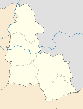
Tulyholowe is located on the 53 km long river Ret ( Реть ), a left tributary of the Esman ( Есмань , Desna river system) near the north-running highway M 02 / E 101 , which connects Kiev with Moscow .
The village, founded in the 16th century, is the only village in the district council of the same name in the east of Krolewez Rajon . Tulyholowe is located 25 km northeast of the district center Krolewets and about 140 km northwest of the Oblast center Sumy .
Individual evidence
- ↑ The village's website on the Verkhovna Rada website , accessed on December 3, 2015

