Větrný
| Větrný | ||
|---|---|---|
| height | 1051 m nm | |
| location | Bohemia , Czech Republic | |
| Mountains | Bohemian forest | |
| Notch height | 70 m | |
| Coordinates | 48 ° 54 '21 " N , 13 ° 56' 13" E | |
|
|
||
| particularities | Pilgrimage Church of St. Magdalena , Prameniště Blanice Nature Reserve | |
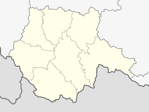
The Větrný ( German Lichtenberg ) is a 1051 meter high mountain in the Bohemian Forest in the Czech Republic . It is located 3.5 kilometers east of the city of Volary (Wallern) . The mountain is forested with spruce trees . The steeper slopes to the west are covered in scattered debris and small rocks. Part of the meadows of the flatter south and east slopes is protected by the nature reserve Národní přírodní památka Prameniště Blanice .
On a terrace on the northeast slope is the hamlet of Svatá Magdaléna (Saint Magdalene) , which consists of the pilgrimage church of the same name and a few houses. During the Cold War there was a roofed rocket launcher position with bunkers nearby . The highest point in the area is the 1264 meter high Bobík (carpenter) , which is eight kilometers away in a north-westerly direction. The area around the Větrný is sparsely populated with 16 inhabitants per square kilometer.
A green marked hiking trail in the direction of Arnoštov leads from Volary to Větrný.
Web links
- Větrný Mountain on tisicovky.cz (Czech)
Individual evidence
- ↑ tisicovky.cz: Větrný (HLV 259; 1051 m) . (Czech, accessed March 7, 2020)
- ↑ mapy.cz: Národní přírodní památka Prameniště Blanice . (Czech, accessed March 7, 2020)
