
Parinacota
| Parinacota | ||
|---|---|---|
 The Parinacota and Lake Chungará |
||
| height | 6348 m | |
| location |
Región de Arica y Parinacota , Parinacota Province , Chile Oruro Department , Bolivia |
|
| Mountains | To the | |
| Dominance | 20 km → Sajama | |
| Notch height | 1150 m | |
| Coordinates | 18 ° 9 '58 " S , 69 ° 8' 33" W | |
|
||
| Type | Stratovolcano | |
| Last eruption | 15th or 16th century | |
| First ascent | December 12, 1928 by the Austrian Joseph Prem and the Bolivian Carlos Terán | |
| Normal way | Alpine tour | |

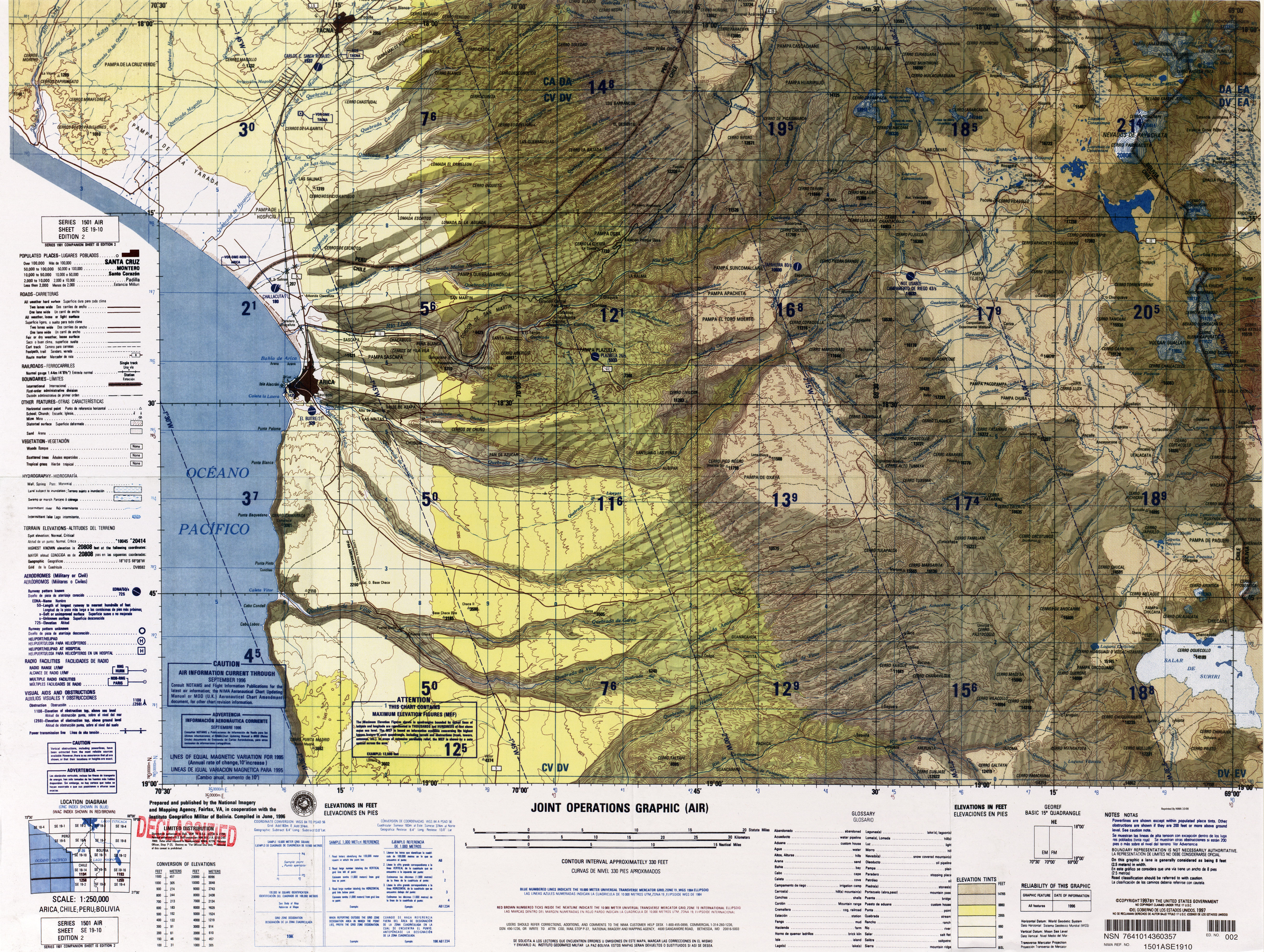
The Parinacota is a stratovolcano on the border between Chile and Bolivia in the area of the Atacama Desert . It is located in the Lauca National Park, 145 kilometers east of Arica in the western cordillera of the Central Andes. Together with the Pomerape volcano , which lies northeast of it, it forms the Payachata complex. Lake Chungará lies at its feet . Its current activity is limited to fumarole activity .
Individual evidence
- ↑ Parinacota ( Memento of the original from March 17, 2006 in the Internet Archive ) Info: The archive link was inserted automatically and has not yet been checked. Please check the original and archive link according to the instructions and then remove this notice. on trekkingchile.com, accessed April 24, 2017
See also
Web links
Commons : Parinacota - collection of images, videos and audio files
- Parinacota in the Global Volcanism Program of the Smithsonian Institution (English)
- Raised relief map Arica 1: 100,000 (PDF; 6.4 MB)