Wartenberg (Swabian Alb)
| Wartenberg | ||
|---|---|---|
|
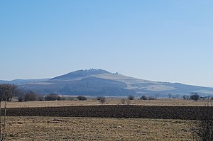
View from the west |
||
| height | 844.8 m above sea level NHN | |
| location | Baden-Wuerttemberg , Germany | |
| Coordinates | 47 ° 55 '31 " N , 8 ° 37' 3" E | |
|
|
||
| Type | Chimney filling | |
| rock | Basalt and basalt tuff | |
|
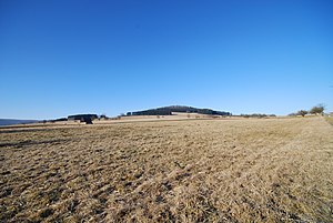
View from Geisingen |
||
The Wartenberg ( 844.8 m above sea level ) is located in the district of Geisingen in the Tuttlingen district in Baden-Württemberg , Germany . It has been part of the Wartenberg nature reserve since 1994 .
Location and surroundings
The Wartenberg lies just north of the Danube, two kilometers west of the city Geisingen in the Swabian Alb belonging natural space Baaralb west that closes immediately Baar on.
geology
The Wartenberg is of volcanic origin and is considered the northernmost basalt cone of the Hegau volcanism . Basalt and basalt tuff stand in its summit area.
Buildings
- Wartenberg Castle Ruins (Geisingen)
- Upper Wartenberg Castle (Old Wartenberg, no remains)
- Geisingen Castle (on the site of the upper castle)
See also
Individual evidence
Web links
Commons : Wartenberg - Collection of images, videos and audio files


