Cheves hydroelectric power station
| Cheves hydroelectric power station | |||
|---|---|---|---|
| location | |||
|
|
|||
| Coordinates | 10 ° 53 ′ 21 ″ S , 76 ° 57 ′ 59 ″ W | ||
| country |
|
||
| place | Lima region | ||
| Waters | Río Huaura | ||
| Data | |||
| power | 171 MW | ||
| operator | Statkraft | ||
| Construction time: | 2011-2015 | ||
| Start of operations | 2015 | ||
| turbine | 2 Pelton turbines | ||
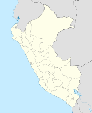
The Cheves hydropower plant (Spanish: Central Hidroeléctrica Cheves ) is located in the catchment area of the Río Huaura in the central west of Peru , 130 km north of the state capital Lima . The power plant is located in the Checras district in the Huaura province of the Lima administrative region . The hydropower project, implemented between 2011 and 2015, cost US $ 250. The operator of the plant is Statkraft .
Hydroelectric power plant
The hydropower plant is located in the Peruvian Western Cordillera 75 km from the Pacific coast. The cavern power plant is located on the left slope of the Río Huaura at river kilometer 92. The settlement of Churín is 13 km east-northeast of the plant. The power plant was commissioned in August 2015. The engine room is located in a 60 m long, 16 m wide and 32 m high chamber. Another chamber (28 m × 11 m × 14 m) houses the transformers. The power plant can be reached via an approximately 1000 m long access tunnel ( ⊙ ). The hydropower plant is equipped with two vertically directed Pelton turbines . The total installed capacity is 171 MW. The average annual energy production is 837 GWh. The power plant uses a net head of 597 m. The expansion water volume is 33 m³ / s. Below the power plant, the water is fed to the Río Huaura via a 3.3 km long drainage tunnel ( ⊙ ).
Weir on the Río Huaura
There is a weir ( ⊙ ) on the Río Huaura 12 kilometers upstream . From this a 2.6 km long tunnel leads to the reservoir of the Checras dam on the left tributary of the Río Checras .
Checras dam
The Checras dam ( ⊙ ) is located on the Río Checras, one and a half kilometers above its confluence with the Río Huaura. The concrete dam is 21 m high and 140 m long. The reservoir has a maximum water surface of 7 ha, the storage volume is 580,000 m³. Below the dam there is a sedimentation basin on the left side of the valley. The water is then led through a 9.7 km long tunnel to an underground expansion tank. A pressure tunnel leads from this to the cavern power station.
Picunche compensation pool
At river kilometer 79, 11 kilometers below the discharge point, there is a dam ( ⊙ ) on the Río Huaura. The 11.5 m high and 155 m long earth and concrete dam regulates the flow of the Río Huaura. The Picunche compensation basin has a maximum water surface of 10 ha and a capacity of 414,000 m³. Below the dam, the river should have a drainage behavior that is as natural as possible.
![]() Map with all coordinates: OSM | WikiMap
Map with all coordinates: OSM | WikiMap
Individual evidence
- ↑ Constructora terminó construcción de hidroléctrica Cheves en Huaura . Gestión. Retrieved October 5, 2019.
- ↑ a b c Central Hidroeléctrica Cheves (PDF, 116 KB) Statkraft. Retrieved October 5, 2019.
